4.3K
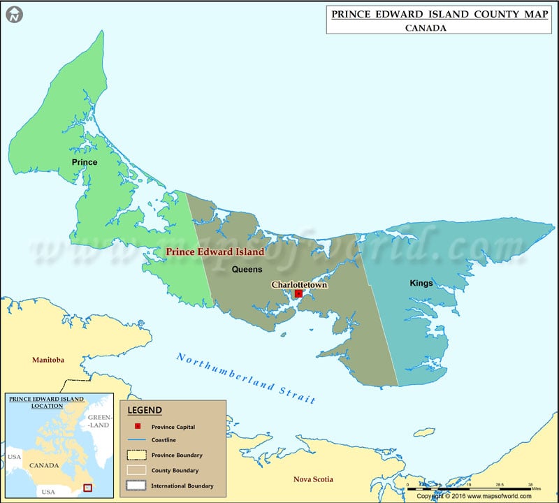
Prince Edward Island Province is full of tourist attractions in the form of beaches, golf courses, historical and adventure spots, etc. Various interesting places to visit in Prince Edward Island province include Confederation Centre of the Arts, St. Dunstan’s Basilica, Cavendish beach, Point Petre Wildlife Conservation Area, and Anne of Green Gables Museum.
List of counties of Prince Edward Island |
|---|
| County name | Population (2016) | Land area (km²) | Historical county seat | Current county seat |
|---|---|---|---|---|
| Kings | 17,160 | 651 | Kings Royalty | Georgetown |
| Queens | 82,017 | 780 | Queens Royalty | Charlottetown |
| Prince | 43,730 | 764 | Prince Royalty | Summerside |
| Total counties | 142,907 | 2,195 | — | — |
previous post
