Delaware Bay Map
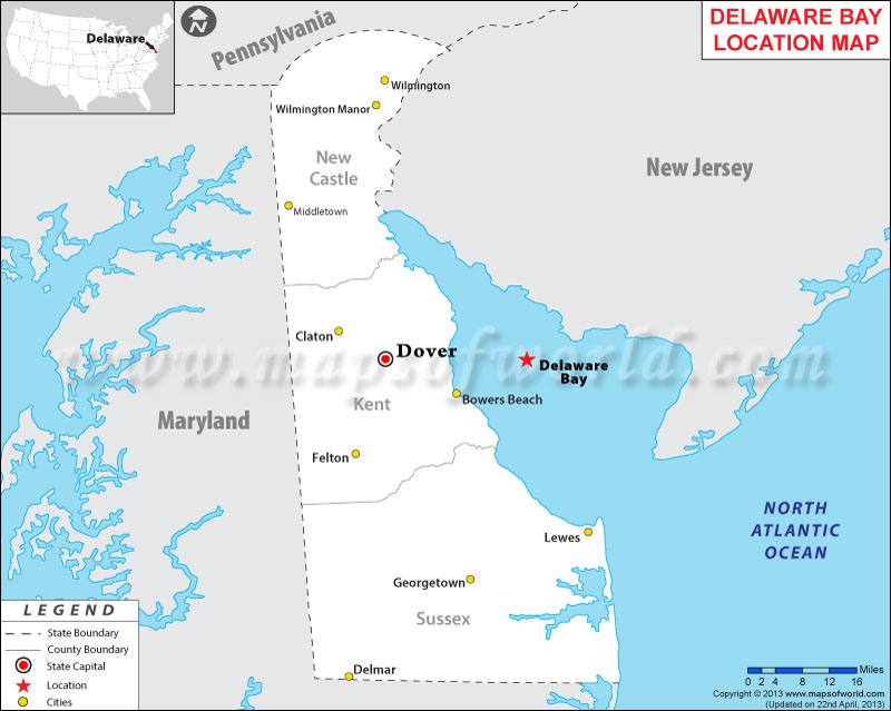
| Description : Map showing location Delaware Bay in Delaware state of USA. | Disclaimer |
Close Disclaimer : All efforts have been made to make this image accurate. However MapSherpa, Inc, its directors and employees do not own any responsibility for the correctness or authenticity of the same. |
| Location : England | |
| Latitude : 34.33N Longitude : 91.58W | |
| Facts About Delaware Bay |
| City Name | Delaware Bay |
| Continent | North America |
| Country | United State |
| State | New Jersey and Delaware |
| County | |
| Capital and largest city | NA |
| Area | Approximately 782 square miles (2,030 km2) |
| Population | |
| Lat Long | 39°04′N 75°10′W |
| Official Language | |
| Area code(s) | |
| Time Zone | Eastern: UTC -5/-4 |
| Nearest Airport | |
| Currency | United States dollar ($) (USD) |
| Website |
Source: kyw.iewatershed.com
|
"By clicking OK or by using this Website, you consent to the use of cookies. Your personal data will be governed by Mapsofworld Privacy Policy and Terms."
Get customize mapping solution including
For further info please get in touch with us at
 [email protected]


