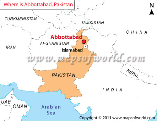
In Pakistan Geography mountains and desert get the prime importance, as Pakistan is a land of mountains and deserts. Located at 23°37′ North and 61°76′ East, Pakistan covers an area of about 803,940, out of which the land area is about 796,096 square kilometers.
The neighboring countries of Pakistan are India, Iran, China and Afghanistan. Facts about Pakistan state that Pakistan has four provinces, which are Sindh, Punjab, North West Fornier Province and Baluchistan.
Pakistan Land
Pakistan Land comprises of desert in the southern part. Due to lack of rainfall the temperature shoots up to 45°C or even more during the summer. The topography of the region helps in keeping the climate hot and dry. Through the land of Pakistan flows river Indus and its tributaries Jhelum, Chenub and Ravi as well as the Beas and Sutlej.
Pakistan Mountains
Pakistan Mountains in the north Pakistan remain snow capped throughout the year. The important mountains in Pakistan, which range between the height of 8000 and 9000 meters are K2, Nanga Parbat, Gasherbrum I, Broad Peak and Gasherbrum II.
Pakistan Geography is a great combination of lush vegetation and desert landscapes. The large expansive deserts are stretched along for miles.
