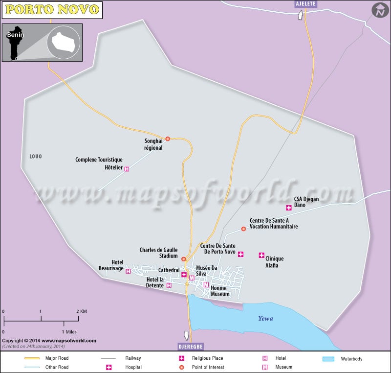
Porto Novo is also known as Adjace or Hogbonou and is officially the capital city of the west African nation of Benin. Prto Novo is also an important port on the inlet of the Gulf of Guinea in the south east regions of the land of Benin. Porto Novo of Benin is also significant as the second largest city in the country.
The latitude and the longitude over which Porto Novo at Benin is located measure 6° 28′ 60 N and 2° 37′ 0 E, respectively. The altitude at which the city of Prto Novo is placed measures one hundred and twenty seven feet, which is approximately equal to thirty eight meters, above the sea level.
Some of the major tourist destinations at the city of Porto Novo in Benin include the following:
- The Porto Novo Museum of Ethnography
- King Toffa’s palace which is also known as the famous Musée Honmé and the Royal Palace that has been transformed into a museum
- The large plaza of Jardin Place Jean Bayol
- The da Silva Museum
- The palais de Gouverneur or the Governor’s Palace, which is presently the residence of the national legislature
- The Brazilian-style church which is now-a-days a mosque
- The Institute of Higher Studies of Benin
- The largest football stadiums of Stade Municipale and Stade Charles de Gaulle or the Charles de Gaulle Stadium
- The cultural and the historical, yet living history of the town of Ouidah
- The Pendjari National Park.

 Benin Science and Technology