9.1K
- Neighboring Countries - Rwanda, Kenya, DRC, South Sudan, Burundi, Tanzania
- Continent And Regions - Africa Map
- Other Uganda Maps - Uganda Map, Uganda Blank Map, Uganda Road Map, Uganda Rail Map, Uganda River Map, Uganda Cities Map, Uganda Political Map, Uganda Physical Map, Uganda Flag
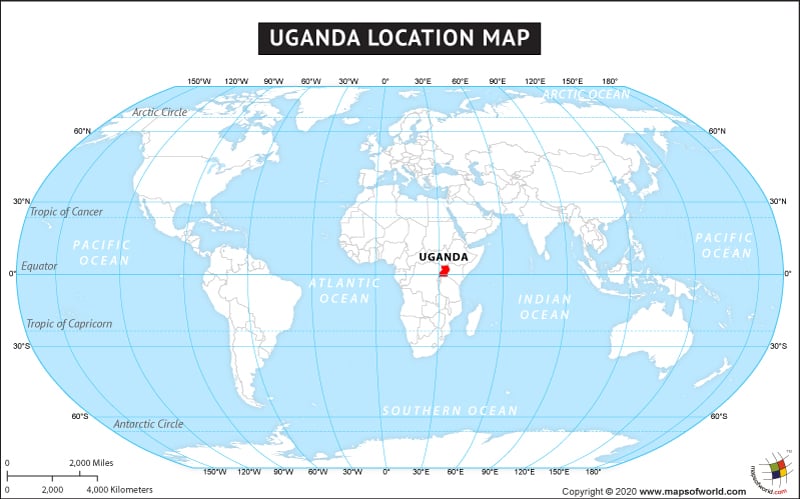
The country of Uganda is in the Africa continent and the latitude and longitude for the country are 1.1027° N, 32.3968° E.
The neighboring countries of Uganda are :
- Democratic Republic of the Congo
- Kenya
- Rwanda
- South Sudan
- Tanzania
Facts About Uganda |
| Country Name | Uganda |
|---|---|
| Continent | Africa |
| Capital and largest city | Kampala |
| Area | 241,038 km2 (93,065 sq mi) |
| Population | 36,824,000 (2013 Census) |
| Lat Long | 1.0667° N, 31.8833° E |
| Official Language | English, Swahili |
| Calling Code | +256 |
| Time Zone | East Africa Time Zone (UTC+03:00) |
| Airport | 4- Airports commercial Service |
| Neighbour Countries | Tanzania, Kenya, Rwanda, Democratic Republic of the Congo, Sudan |
| Internet TLD | .ug |
| Currency | Ugandan shilling (UGX) |

 Uganda Distance Calculator and Driving Directions