14.3K
- Neighboring Countries - Syria, Israel, Jordan
- Continent And Regions - Asia Map
- Other Lebanon Maps - Lebanon Map, Lebanon Blank Map, Lebanon Road Map, Lebanon Rail Map, Lebanon River Map, Lebanon Cities Map, Lebanon Political Map, Lebanon Physical Map, Lebanon Flag
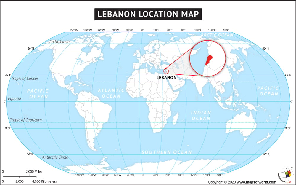
The country of Lebanon is in the Asia continent and the latitude and longitude for the country are 33.9270° N, 35.6951° E.
The neighboring countries of Lebanon are :
- Cyprus
Maritime Boundaries
- Akrotiri and Dhekelia
Facts About Lebanon |
|---|
| Country Name | Lebanon |
|---|---|
| Continent | Asia |
| Capital and largest city | Beirut |
| Area | 10,452 km2 ( 4,036 sq mi ) Water (%) 1.8 |
| Population | 4,467,000 (2014 Est.) |
| Lat Long | 33.9000° N, 35.5333° E |
| Official Language | Arabic |
| Calling Code | +961 |
| Time Zone | EET (UTC+2) Summer (DST) EEST (UTC+3) |
| Airport | 1-Beirut-Rafic Hariri International Airport |
| Neighbour countries | Syria, Jordan, Egypt, Iraq, Saudi Arabia, Israel |
| Internet TLD | .lb |
| Currency | Lebanese pound (LBP) |

 Lebanon Weather