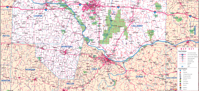
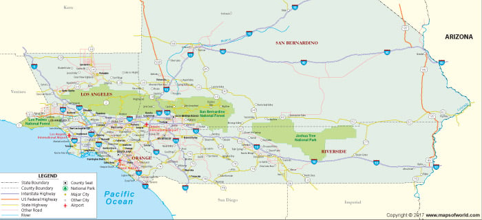
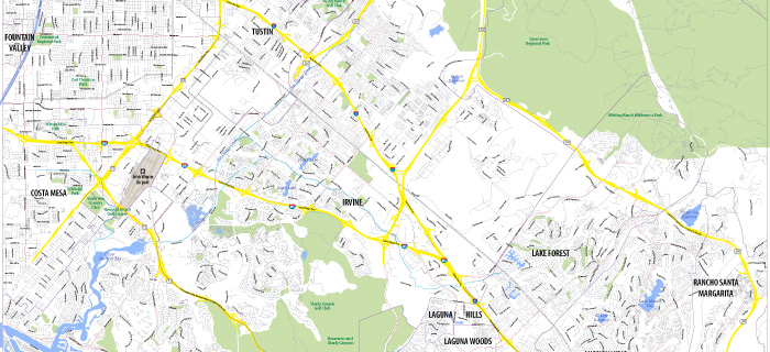
Our customized US county map shows the administrative division of the states into counties. The expression ‘county’ is applied in 48 out of the 50 US states. At present, there are 3,143 counties and county equivalent areas in states. For any developmental initiative at the state or county level, clear demarcation of the boundary is very important. Without knowing the exact boundary of a county, planning for optimal utilization of land within the county’s jurisdiction is very difficult. Our county maps can provide additional information about the cities in each county and their social, political and economic aspects. Our maps are informative, crisp and clear and offer clear visibility. All the data used for demarcation of the boundaries are from government published sources.
Key Benefits
- In our county maps we can highlight the major cities and destinations and provide other related information.
- Our maps are available in high resolution raster and editable vector formats. We can also provide maps in GIS format for easy reference.
- We can provide clear demarcation of Interstate highways, US federal roadways and other major roads passing through each county and state. Besides, additional information on geographic layout, distribution of water bodies and other features can be given on the maps.
- Maps are designed to provide accurate overview of the counties to help in future planning, resource allocation, implementation of development initiatives and identify suitable opportunities based on existing resources.
- We can provide maps for state level, regional metro area level as well as street levels of each county.
Potential Users
- Companies dealing in FMCG, real estate, petroleum distribution, logistics and retail can benefit immensely from our detailed county maps.
- Government official from state or county level can use our maps for references.
- Service providers like courier agencies, transport companies, postal services etc. can benefit from our street level maps.
- Medical services providers, travel agencies as well as tourists can also use these maps.