1.7K
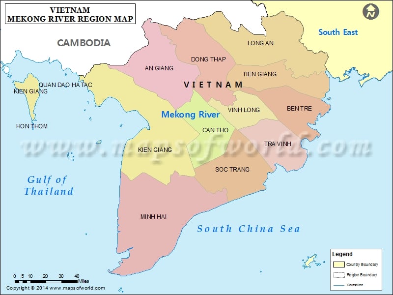
Mekong River Delta |
| Province | Capital | Population | Area km² |
|---|---|---|---|
| An Giang | Long Xuyên | 2,099,400 | 3,406 |
| Bạc Liêu | Bạc Liêu | 756,800 | 2,521 |
| Bến Tre | Bến Tre | 1,308,200 | 2,287 |
| Cà Mau | Cà Mau | 1,158,000 | 5,192 |
| Đồng Tháp | Cao Lãnh | 1,592,600 | 3,238 |
| Hậu Giang | Vị Thanh | 766,000 | 1,608 |
| Kiên Giang | Rạch Giá | 1,542,800 | 6,269 |
| Long An | Tân An | 1,384,000 | 4,492 |
| Sóc Trăng | Sóc Trăng | 1,213,400 | 3,223 |
| Tiền Giang | Mỹ Tho | 1,635,700 | 2,367 |
| Trà Vinh | Trà Vinh | 989,000 | 2,226 |
| Vĩnh Long | Vĩnh Long | 1,023,400 | 1,475 |
| Cần Thơ (municipality) | 1,112,000 | 1,390 |
