Search For Latitude & Longitude Map
Or
Latitude
Longitude
Or
Area
* Put South & West values with minus ( - ) sign.
|
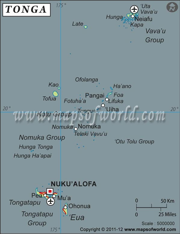
| Description: Find Tonga latitude and longitude map showing comprehensive details including cities, roads, towns, airports and much more. | Disclaimer |
The Tonga nation was formerly known as "The Friendly Islands". In 1845 the archipelagos of this island united into a Polynesian territory. It transformed into a legitimate monarchy in 1875.The latitude and longitude of Tonga are 20°00'S and 175°00'W respectively. It is located in Oceania, which is an archipelago in South Pacific Ocean. The conventional name of Tonga is Kingdom of Tonga. The followings are some of the relevant information about the longitude and latitude of Tonga.
The total area covered is 748 sq km. The inhabitants of Tonga experience a tropical climate throughout the year... The coastline is 419 km. The lowest point is Pacific Ocean 0 m and the highest is on Kao Island 1,033 m. The population is 116,921 and the languages spoken are Tongan and English. The economy is based on the exports of agricultural goods. The capital of Tonga is Nukualofa. The geographic coordinates of the capital of Tonga are 21°08'S, 175°12'W.| Locations | Latitude | Longitude | Niuafo'ou | 15°36'00"S | 175°37'48"W | Nuku'alofa | 21°08'00"S | 175°12'00"W | Vava'u | 18°41' 60 S | 174°1' 60 W |


