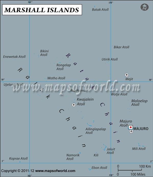
Marshall Island is located within the latitude and longitude of 09° 00 N, 168º 00 E. The Republic of the Marshall Island is located in the midway between Hawaii and Australia.
The capital city of Marshall Island is Majuro . The latitude and longitude of Majuro, the capital city of Marshall Island country is 07º 05' N, 171º 08' E. Marshall Island is 17 hours ahead of Washington, DC during Standard Time. The latitude and longitude of Marshall Island includes 11, 854.3 sq km of total land.
The climate within latitude and longitude of Marshall Island is tropical in nature.In general terms, the weather of this latitude and longitude of Marshall Island remains hot and humid throughout most of the year. The area within the latitude and longitude of Marshall Island experiences rain falls throughout the year. The rainy season lasts from May to November.
| Locations |
Latitude |
Longitude |
| Bikini Atoll | 12°00'N | 167°30'E |
| Dalap-Uliga-Darrit | 07°07'N | 171°24'E |
| Enewetak Atoll | 11°30'N | 162°15'E |
| Jaluit I. | 06°00'N | 169°30'E |
Last Updated on: November 18th, 2017


