19.1K
- Mauritius Cities - Port Louis
- Continent And Regions - Africa Map
- Other Mauritius Maps - Mauritius, Mauritius Blank Map, Mauritius Road Map, Mauritius Rail Map, Mauritius Physical Map, Mauritius Flag
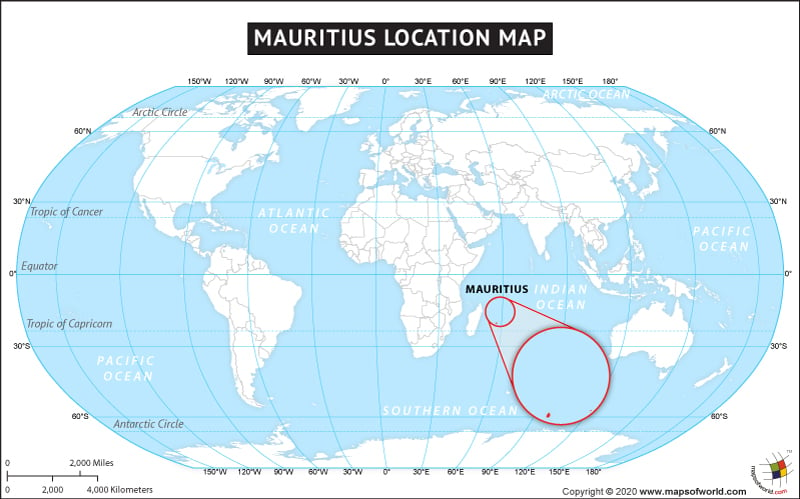
The country of Mauritius is in the Africa continent and the latitude and longitude for the country are 20.1625° S, 58.2903° E.
Mauritius is an Island nation and some of its nearest neighboring countries are :
- Reunion
- Madagascar
- Mayotte
- Comoros
- Seychelles
Facts About Mauritius |
|---|
| Country Name | Mauritius |
|---|---|
| Continent | Africa |
| Capital and largest city | Port Louis |
| Area | 2,040 km2 (787 sq mi ) Water (%) 0.07 |
| Population | 1,261,208 (2014 Est.) |
| Lat Long | -20.2, 57.5 (20° 12′ 0″ S, 57° 30′ 0″ E) |
| Official Language | English |
| Calling Code | +230 |
| Time Zone | MUT (UTC+4) |
| Airport | 2, Sir Seewoosagur Ramgoolam International Airport, Sir Gaëtan Duval Airport |
| Neighbour countries | Reunion, Madagascar, Comoros, Seychelles, Mayotte |
| Internet TLD | .mu |
| Currency | Mauritian rupee (MUR) |

 Mauritius Islands