Is Nile the longest river in the world?
Is the Nile the longest river?
No. It is the Amazon.
The river Nile was recognized as the longest river in the world till 2007 when geographers using GPS technology confirmed the Amazon as the longest river. The Amazon has a length of 4,345 miles and the Nile 4,258 miles.
There is a debate taking place on the exact length of both rivers since the length depends on how the measurements are taken and what is considered the furthest source of the river. Rivers and their tributaries tend to change course over the years depending upon the weather and rainfall pattern, which can affect the distance calculated.
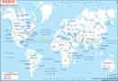
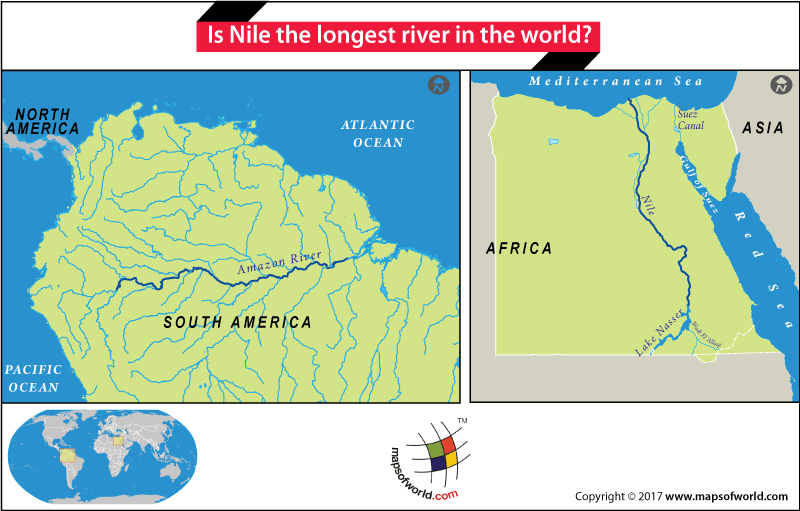
Nile River on World Map
The Nile flows northwards from its source and passes through 11 countries – Burundi, Rwanda, Tanzania, Democratic Republic of Congo, Uganda, Kenya, Ethiopia, Eritrea, South Sudan, Sudan, and Egypt, before flowing into the Mediterranean Sea.
The Nile has two tributaries – White Nile and the Blue Nile. The White Nile is the longer of the two and its source is Lake Victoria that has three countries touching its shores – Tanzania, Kenya, and Uganda. Lake Victoria is fed by several rivers, the longest of which is the Akagera or Kagera, recognized as the furthest headstream of the White Nile. Akagera’s source is in Burundi.
The source of the Blue Nile is Lake Tana in Ethiopia. Both the Niles converge near Khartoum, capital of Sudan, before entering Egypt and finally meeting up with the Mediterranean Sea.
The journey of the Nile from Jinga in Uganda, the place where the Nile leaves Lake Victoria, to the Mediterranean Sea, is said to take three months, carrying with it fertile sediment that once fed the parched banks of Egypt during monsoons. The Nile discharges around 79.2 billion gallons of water per day and drains around 1,293,000 sq miles of land.
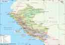
River Amazon
The source of the Amazon is believed to be the slope of a high cliff on Nevado Mismi, a 5,597-meter high mountain in Southern Peru and part of the Andes. The source of the Amazon was first discovered by Loren McIntyre in 1971 but its actual source point and length was confirmed by a team of geographers using GPS technology. The same method was used to determine the length of the Nile.
From Nevado Mismi several lakes and brooks join up to form the Apurimac. As it flows further it becomes the Ene and then the Tambo before flowing as the Ucayali. From the point where the Ucayali merges with the Maraňón, the river becomes the Amazon. The Amazon is fed by over 1,100 tributaries along its journey to the Atlantic Ocean.
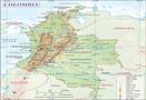
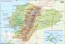
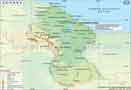
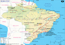
The river passes through 7 countries – Peru, Bolivia, Venezuela, Colombia, Ecuador, Guyana, and Brazil, before flowing into the Atlantic.
The average discharge of the Amazon is 219,000 cubic meters per sec and the Amazon basin drains 2,722,000 sq miles area, almost 40% of South America, making it the largest drainage basin in the world. 20% of global freshwater comes from the Amazon and has the maximum discharge into the ocean.
The Amazon Rainforest came up due to the Amazon. The river has been a lifeline to over 2.7 million indigenous that have sustained themselves along the river. Amazon is home to over 300 species of fish and is also a source of livelihood to people who live along its length.
Related Maps: