World map depicting cities with most transport accessibility
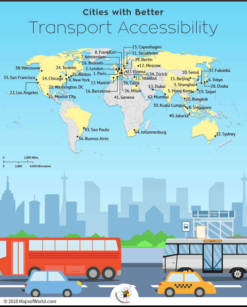
The transport network of a region is closely interlinked with the economic development. A finely integrated transport network renders better accessibility and services.
Leave a Reply