1K
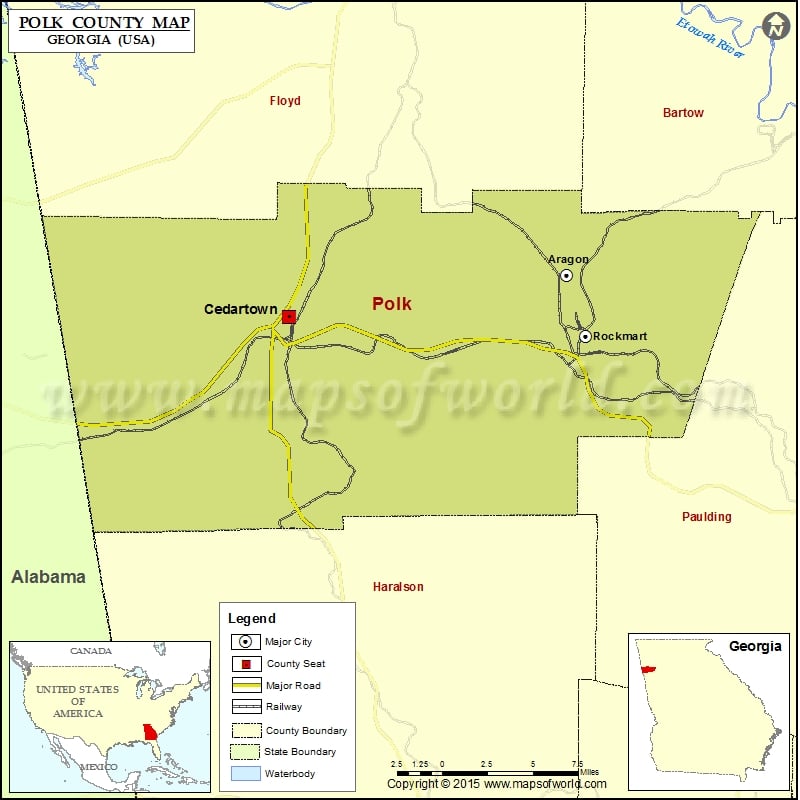
Check this Georgia County Map to locate all the state’s counties in Georgia Map.
Mountain Peaks in Polk County
| Mountain Peak/Hill | Elevation [Meter] |
|---|---|
| Brewster Mountain | 350 |
| Casey Mountain | 376 |
| Cobb Mountain | 378 |
| Dugdown Mountain | 360 |
| Etna Mountain | 373 |
| Everett Mountain | 384 |
| Hightower Mountain | 395 |
| Loveless Mountain | 377 |
| Paris Mountain | 392 |
| Potato Hill | 335 |
| Shorty Mountain | 485 |
| Signal Mountain | 390 |
| Treat Mountain | 423 |
More Maps of Polk County
- Polk County Map, Nebraska
- Polk County Map, Florida
- Polk County Map, North Carolina
- Polk County Map, Texas
- Polk County Map, Tennessee
Airports in Polk County
| Airport Name |
|---|
| Polk County Airport- Cornelius Moore Field |
Cities in Polk County
| City | Population | Latitude | Longitude |
|---|---|---|---|
| Aragon city | 1249 | 34.045688 | -85.057078 |
| Cedartown city | 9750 | 34.021558 | -85.250079 |
| Rockmart city | 4199 | 34.010269 | -85.044197 |
Golf Courses in Polk County
| Name of Golf Course | Latitude | Longitude |
|---|---|---|
| Cedar Valley Golf Course-Cedartown | 33.983078 | -85.255849 |
| Cherokee Golf & Country Club-Cedartown | 34.045932 | -85.254427 |
| Meadow Lakes Golf Course-Cedartown | 34.074292 | -85.221745 |
| Prospect Valley Golf Course-Rockmart | 34.031153 | -85.070923 |
 Wall Maps