
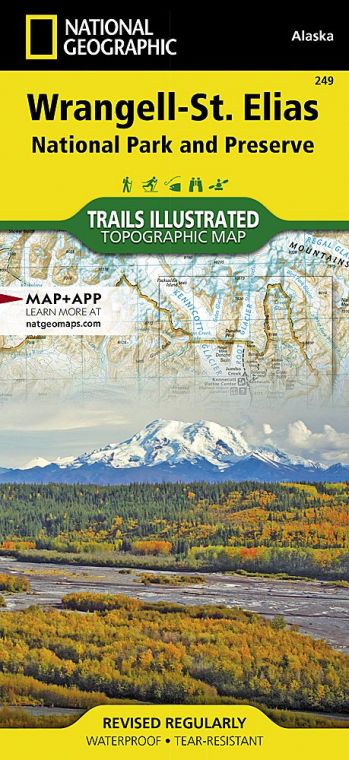
One of the park’s glaciers, the Malaspina, is larger than Rhode Island. The gigantic park contains four mountain ranges, with nine of the highest peaks in North America, including Mount St. Elias, at 18,009 feet. Wrangell–St. Elias National Park and Preserve, Glacier Bay National Park, Canada’s Kluane National Park, and the trans-border Tatshenshini– Alsek parks, make up a 24,300,000- acre UNESCO World Heritage site.
How to Visit
The best way to see the park depends on time, experience, and budget. The easy way in is on the McCarthy Road or the Nabesna Road. Both go a little ways into the park. To see the deeper country, you’ll need a horse, a guide, or a pilot. Flight-seeing here is one of the great Alaska experiences.
Information
How to get there
Wrangell–St. Elias has two road access points: the main one, the McCarthy Road, is outside Copper Center. The road is rough but passable. Rougher still, though passable in a passenger vehicle, is Nabesna Road, the other road access point. It can be picked up at the Slana Ranger Station, 75 miles northeast of Copper Center.
When to go
The park is open year-round; outside summer months, though, it’s a destination only experienced winter campers should try. Be prepared for abrupt temperature changes any time of year.
Visitor Centers
The main visitor center and park headquarters is in Copper Center, about 200 scenic miles from Anchorage and 250 less scenic miles from Fairbanks. The visitor center (907-822-7250) is open April through Oct. The Kennecott Visitor Center (907-554-1105), in McCarthy, is open Memorial Day to Labor Day
Headquarters
P.O. Box 439 Mile 106.8 Richardson Highway Copper Center, AK 99573 nps.gov/wrst 907-822-7250
Camping
You can camp almost anywhere in the park except on private property in and around McCarthy. No permit needed, but it is wise to register your itinerary with park officials. The park’s 14 very basic cabins, scattered around the park, are hike- or fly-in.
Lodging
The park’s full-service lodgings, including several concessioner-run B&Bs, are mainly in McCarthy; Kennicott has the Kennicott Glacier Lodge (kennicottlodge.com; 800-582- 5128). Around the edges of the park, the towns of Glennallen and Copper Center offer motels. For more information, visit coppervalleychamber.com.
US National Parks Map
About the Guide
