
Santa Monica Mountains National Recreation Area
The mountain range stretches for 50 miles across the Los Angeles basin’s northwestern boundary. There are 150,000+ acres of grassy swales, tree-shaded glens, rock-studded hillsides, and windswept beaches. Unlike other national parks, Santa Monica Mountains National Recreation Area is a patchwork of many small parks and a wide range of partners protecting the mountains and beaches. Explore over 500 miles of trail, famous beaches of Malibu, and historical and cultural sites.
Places to Visit Nearby
-
National Park Service
- Arroyo Sequin
- Cheeseboro and Palo Camado Canyons
- Circle X Ranch
- Franklin Canyon Park
- King Gillette Ranch
- Paramount Ranch
- Peter Strauss Ranch
- Rancho Sierra Vista / Satwiwa
- Rocky Oaks
- Solstice Canyon
- Visitor Center (Interagency)
- Zuma and Trancas Canyons
-
California State Parks
- Malibu Creek State Park
- Leo Carrillo State Park
- Point Dume State Reserve
- Point Mugu State Park
- R. H. Meyer Memorial State Beaches
- Baldwin Hills Scenic Overlook
- Malibu Lagoon State Beach
- Topanga State Park
- Will Rogers State Historic Park
-
Mountains Recreation and Conservation Authority
- Corral Canyon Park
- Franklin Canyon Park
- LA River Center & Gardens
- Malibu Bluffs Open Space
- Marvin Braude Mulholland Gateway Park
- San Vicente Mountain Park
- Temescal Gateway Park
- Upper Las Virgenes Canyon Open Space Preserve
-
City of Los Angeles
- Griffith Park
- Runyon Canyon Park
- Zuma Beach County Park
Things to Do
- Hiking
- Mountain Biking
- Horseback Riding
- Climbing
- Camping
- Wildflower Viewing
- Special Programs and Events
Hikes
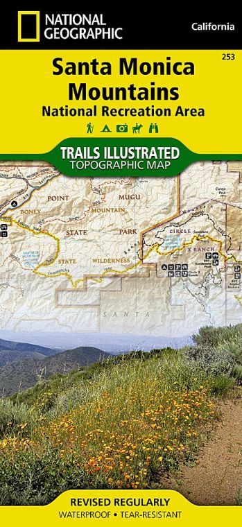
Buy for $14.95
The Santa Monica Mountains have over 500 miles of public trails. It offers a wide range of hiking trails, from short, flat loops (suitable for first-timers) to rugged, steep climbs. It gives you breathtaking views of the mountain ranges all around and the Pacific Ocean. If you want to escape the hustle-bustle of the urban jungle, reach one of the numerous trailheads that are a short drive from the 101 or Pacific Coast Highway.
5 Best Hikes in Santa Monica Mountains
-
Mishe Mokwa Trail to Split Rock
This is a moderately challenging round trip of 3.5 miles. You’ll get an excellent view of Carlisle Canyon and Balanced Rock along the Mishe Mokwa Trail to Split Rock as you traverse riparian, coastal sage scrub, and chaparral. Enjoy picnicking in the shaded spot at Split Rock’s oak grove. Circle X Ranch is the trailhead of this hike.
-
Satwiwa Loop Trail
Satwiwa Loop Trail is an easy round trip of 1.5 miles. You can stroll through the Satwiwa Native American Indian Natural Area’s grasslands and chaparral. Experience the preservation and celebration of Native American cultures as you enjoy the picturesque beauty of Mount Boney as the perfect backdrop to the beautiful meadow. Rancho Sierra Vista / Satwiwa is the trailhead of this hike.
-
Solstice Canyon Trail
Solstice Canyon Trail is an easy roundtrip of 2.1 miles. You have to hike through the gently rising trail that begins from the main parking area of Solstice Canyon. Then you have to follow a creek as you walk through an oak and sycamore forest to the waterfall and the ruins of Roberts Ranch House.
-
Backbone Trail
This is a premier long-distance trail in Los Angeles that is 65 miles long in one direction. It’ll take many days to complete the trail. Many day trips are also available on the Backbone trail, including NPS-sponsored guided hikes during spring and winter.
-
Cheeseboro Canyon Trail to Modelo Trail Loop
This hiking trail is moderately challenging and is a roundtrip of 3 miles. After beginning your hike from the Cheeseboro & Palo Comado Canyons trailhead, you have to follow a flat old ranch road through valley oak savannah to reach a ridge to enjoy Simi Hills’ panoramic views.
List of Other Trails:
- Sostomo and Deer Valley Loop Trail
- Ocean and Canyon View Trail
- Mishe Mokwa Trail to Tri-Peaks and Sandstone Peak
- Grotto Trail
- Zuma Ridge Trail
- Sandstone Peak
- Backbone to Upper Zuma Falls
- Upper Cabin Trail via Satwiwa Loop
- Zuma Canyon Loop Trail
- Wendy Trail to Waterfalls
- China Flat Trail Loop
- Simi Peak Trail
- Stunt High Trail
- Zuma Loop Trail
- Malibu Springs Trail to Nicholas Flat Trail
- Tiger Tail Trail
- TRW Loop Trail
- Upper Cabin Trail Loop
- Backbone Trail through Zuma Canyon
- Newton Canyon Trail
- Latigo Canyon to Tapia Park
- Danielson Monument Trail
- Berminator Trail
- Wendy Trail
- Backbone Trail via Encinal Canyon
- Bulldog Motorway
- Newton Falls Zuma Ridge Trail
- Potrero to Tripeaks Trail
- Hidden Valley Overlook
- Boney Ridge Traverse
- Wendy Connector Trail, Upper Sycamore and Old Boney Trail Loop
- Zuma Ridge Trail (North Approach)
- Backbone Trail to Mishe Mokwa Trail
- North Ranch Open Space
- Bark Park Trail
- Backbone Trail to Mesa Peak
- Circle X Ranch Canyon View Loop
- Newton Canyon to Triunfo Pass
- Falling Star Lindero Loop
- Backbone to Bermy
- Castro Peak Trail
- Anza Loop Trail to Calabash Canyon Loop Trail
- Los Robles Trail
- Calabasas Crest Trail
- Bark Park, New Millenium, and Gun Club Road Loop
- Farmer Ridge Trail
- Anza Loop Trail and Gun Club Road
- Zuma Ridge Trail North to Edison Road
- Castro Peak via Backbone Trail – Castro Motorway
- Rock Ridge to Simi Peak
- Peter Strauss Ranch Trail
Facts
- Santa Monica Mountains National Recreation Area is spread across a total area of 157,700 acres (246.4 sq mi or 638.2 sq km).
- It was established as a national park on November 10, 1978.
- 609,636 recreational visitors visited the park in 2011.
Where is Santa Monica Mountains National Recreation Area
Santa Monica Mountains National Recreation Area is located in Southern California’s Santa Monica Mountains. Check this California National Parks Map to find Santa Monica Mountains National Recreation Area on the California Map.
Best Time To Visit
- Summer is the best time to visit the beaches.
- Spring is the best time to explore the mountains.
Visiting Hours
-
Anthony C. Beilenson Interagency Visitor Center and Bookstore
- It remains open from Wednesday to Sunday from 9 am to 4 pm.
- It remains closed on Thanksgiving, Christmas, and New Year’s Day.
-
Satwiwa Native American Indian Culture Center
- It remains open on Saturdays and Sundays from 9 am to 4 pm.
- It remains closed on Thanksgiving, Christmas, and New Year’s Day.
Tickets
- Annual Pass: US$80
- Military Annual Pass: Free
- 4th Grade Pass: Free
- Senior Pass:
- US$80 Lifetime Pass
- US$20 Annual Pass
- Access Pass: Free Lifetime Pass
- Volunteer Pass: Fee Annual Pass
- Children Age 15 or Under: Free
US National Parks Map