
And yet the saguaro (Carnegiea gigantea) occupies a very limited range, growing only in a portion of the Sonoran Desert ecoregion of the United States and Mexico. In the United States, the cactus is found almost exclusively in southern Arizona.
Buy for $14.95
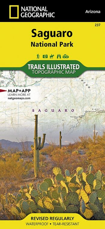
In recognition of the saguaro’s uniqueness, in 1933 a tract of cactus forest east of Tucson, in what is now the Rincon Mountain District of the park, was protected as a national monument. Additional land, now the Tucson Mountain District, was added to the national monument in 1961; 33 years later, they were elevated in status as Saguaro National Park.
The two park districts, 30 miles apart—one east and one west of Tucson—offer convenient hiking opportunities. Other park options include horseback riding, bicycling, and mountain biking. The Sonoran Desert habitat remains the park’s main attraction—not just the extensive stands of saguaro but a broad range of other plants as well as a variety of animals.
The Tucson Mountain District boasts the densest saguaro forests. The larger eastern district—the Rincon Mountain District—extends into the mountains, where woodlands of ponderosa pine and Douglas fir create a striking contrast to the desert below.
Given the diversity of habitats, a hiker can travel from desert scrub (home to roadrunners and peccaries) to conifer forest on 8,666-foot Mica Mountain, where Mexican spotted owl, white-tailed deer, and black bear roam. Such a journey traverses five major life zones: desert, grassland, oak scrub, pine forest, and riparian.
How to Visit
The park can be experienced in one day—or more if you want to do some serious hiking. If you’re primarily interested in seeing saguaros, head to the Tucson Mountain District. Walk the short Desert Discovery Trail and drive the 5-mile Scenic Bajada Loop Drive. Consider hiking the 0.5-mile Signal Hill Trail to see Native American petroglyphs. Ask at the Red Hills Visitor Center about longer hikes, such as the 3.5- mile King Canyon Trail.
In the Rincon Mountain District, the 8-mile Cactus Forest Scenic Loop Drive offers a wealth of fine views and saguaros, as well as possibilities for short hikes. For a strenuous hike into the Rincon Mountain foothills, do a loop from the Douglas Spring Trailhead, following Douglas Spring up a fairly steep slope to the Carrillo Trail and down into the cactus forest via the Garwood Trail (about 5.8 miles). The loop can be made longer by switching up the return route; ask for advice at the visitor center.
The north entrance to the park is an exit off I-40, about 25 miles east of Holbrook, Arizona; the south entrance is about 19 miles east of Holbrook on U.S. 180. The park can be explored from either direction. Here we will start in the north; simply reverse this tour if you are starting in the south.
Useful Information
How to get there
The park is both east and west from Tucson, AZ; take Speedway Blvd. west to Gates Pass Rd. and go north on Kinney Rd. to reach the Tucson Mountain District. Take Speedway Blvd. east and go south on Freeman Rd. and Old Spanish Trail to reach the Rincon Mountain District.
When to go
Temperatures are most pleasant Oct. through April. Summer is very hot, with temperatures often exceeding 100°F. From July through Sept., afternoon thunderstorms can cause flash floods.
Visitor Centers
Both park districts—Tucson Mountain and Rincon Mountain—have visitor centers, open year-round.
Headquarters
3693 S. Old Spanish Trail Tucson, AZ 85730 nps.gov/sagu Rincon Mountain District 520-733-5153 Tucson Mountain District 520-733-5158
Camping
There are no campgrounds in the park. Backcountry camping (fee) in the Rincon Mountain District is allowed with a permit.
Lodging
Lodging is plentiful in Tucson: Metro Tucson Convention and Visitor Bureau, visittucson.org; 800-638-8350.
US National Parks Map
About the Guide
