
With no roads into the park, every trip to Katmai starts with an adventure of travel by boat or floatplane, over sparkling lakes and powerful rivers, with bears on the shores.
Buy for $14.95
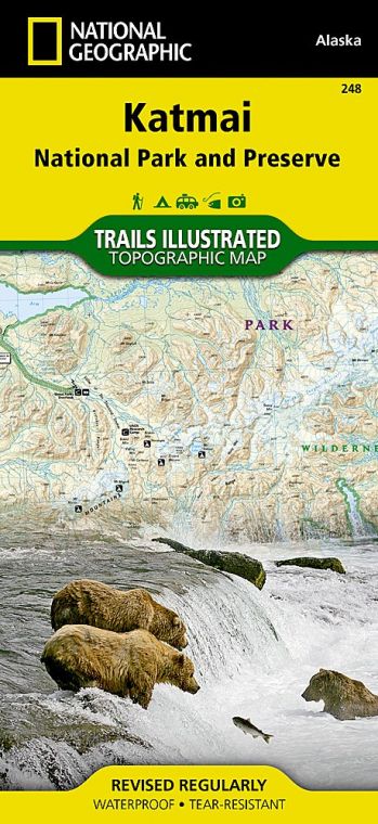
The park got its start in 1918, when President Woodrow Wilson established Katmai National Monument to protect the Valley of Ten Thousand Smokes, a landscape formed in 1912 when Novarupta Volcano was birthed. The stunning eruption—which went on for 60 hours—was so powerful that skies were darkened with ash more than 100 miles away.
The bears and the valley are the obvious lures. Opportunities abound for fishing, hiking, kayaking, canoeing, and photography. It’s all just a floatplane ride away
How to Visit
From day trips to weeks-long backcountry adventures, Katmai is a land of outstanding options. If time is short, take a bear-viewing trip on a floatplane out of Kodiak or Homer. For a longer trip that offers a good variety of outdoor experiences—and a great fireplace where you can swap tales with other travelers— head to Brooks Camp.
Useful Information
How to get there
To get to Brooks Camp, take a regularly scheduled flight from Anchorage on to King Salmon. From there, book an air taxi or powerboat ride for the last hop to Brooks. Plan ahead. For day trips or flights to other areas of the park, including the Pacific coast of the park, charters on a floatplane can be booked from places such as Kodiak, Homer, and Anchorage. Check nps.gov/akso/ management/commercial_services_ directory.cfm for information on flight and guide services.
When to go
The park is open year-round. For hiking, fishing, and boating, the best time to visit is June to mid-Sept. July, Sept., and Oct. are peak bear-viewing months. Summer brings changeable weather, with temperatures that can dip into the 30s.
Visitor Centers
King Salmon Visitor Center, next to the King Salmon Airport. Open March-Nov. Brooks Camp Visitor Center, reachable by charter plane and water taxi. Open June to mid-Sept.
Headquarters
1000 Silver Street, Building 603 P.O. Box 7 King Salmon, AK 99613 nps.gov/katm 907-246-3305
Camping
The park’s only organized campground is at Brooks Camp. Reservations are required and can be made on the web at recreation.gov. For backcountry camping, there’s no limit to available space in the park.
Lodging
Lodging within the park is managed by concessionaires. Katmailand runs Brooks Lodge and Grosvenor Lodge (katmailand.com; 800-544-0551). Several fishing lodges on privately owned land pepper the park. Check visitbristolbay.com for information.
US National Parks Map
About the Guide
