
Isle Royale National Park was designed to remain a wilderness. And so it has—a wild place with no roads, few services, many foot trails, and a network of water routes for canoes and sea kayaks.
Buy for $14.95
Isle Royale, 45 miles long and 9 miles wide, sports one hotel for overnighters, the homey, comfortable Rock Harbor Lodge. Beyond that accommodations consist of dozens of rustic campgrounds scattered on the shores of bays and lakes, and along the promontories.
Islands are defined by the water around them. Isle Royale includes a lot of water; its boundary stretches 4.5 miles from any exposed land. Shipwrecks ring the island as grim monuments to rocky reefs and shifting fog. The forest, drenched by rain and frequent mist, stands in spongy carpets of moss and lichen.
Tea-colored creeks pour off the ridges, filling wetlands. Animals include, most famously, wolves, plus moose, foxes, river otters, snowshoe hares, beavers, bald eagles, and loons.
How to Visit
Few visitors make a visit to Isle Royale National Park a day trip. The average stay is four days, no surprise considering the effort and preparation it takes to get here.
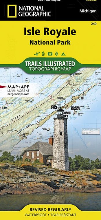
Although private boats are allowed, most visitors arrive on ferries from Michigan, via Houghton or Copper Harbor, or from Minnesota, via Grand Portage. Activity centers on Rock Harbor, one of two ferry entry points—Windigo is the other.
Both have visitor centers. From Rock Harbor, trails and water routes stretch the length of the island. The Greenstone Ridge Trail traverses the island’s rocky spine; numerous connecting trails offer a web of hikes. Unusual for wilderness parks, some campsites feature shelters that provide relief from rain and insects.
Useful Information
How to get there
From Houghton, MI, the Park Service (nps.gov/isro) runs the Ranger III to Rock Harbor, a 6-hour trip. The Royale Line (isleroyale.com) runs from Copper Harbor, MI, to Rock Harbor in 3.5 hours. From Grand Portage, MN, the Grand Portage-Isle Royale Transportation Line (isleroyaleboats.com) runs 2 boats, the Voyageur II and Sea Hunter III. Both reach Windigo in about 2 hours, with the Voyageur II also traveling to Rock Harbor (about 8 hours) with pickup and drop-off service along the way. Isle Royale Seaplanes (isleroyaleseaplanes. com) flies from Hancock, MI, and Grand Marais, MN, to Windigo or Rock Harbor.
When to go
The park is open mid-April through Oct. Weather can be unsettled in spring and fall; stormy conditions on Lake Superior can affect transport. July and Aug. are the most popular months.
Visitor Centers
Visitor centers at Windigo and Rock Harbor are open daily in season, with reduced hours outside of July and Aug. A visitor center at park headquarters in Houghton is open year-round.
Headquarters
800 East Lakeshore Dr. Houghton, MI 49931 nps.gov/isro 906-482-0984
Camping
Non-fee permits are required for all camping and overnight boat docking or anchoring. Of the 36 backcountry campgrounds, many have screened shelters in addition to tent sites, and 17 have group sites. Parties of 1 to 6 get permits on arrival (no reserved sites); groups of 7 to a maximum of 10 must reserve sites and obtain permits in advance through park headquarters.
Lodging
The Rock Harbor Lodge (rockharbor lodge.com; 906-337-4993) offers rooms with private baths, plus a dining room and a dockside store. Also available are rustic one-room cabins in Windigo.
US National Parks Map
About the Guide
