
When first established—in the same year as the National Park Service— only the summit and crater of Haleakalā were protected. They were part of a larger entity called Hawai‘i National Park, which also included the summits of Kīlauea and Mauna Loa on Hawai‘i Island. In 1961, Kīlauea and Mauna Loa became part of Hawai‘i Volcanoes National Park (see p. 366), while Haleakalā was re-designated as Haleakalā National Park.
Visitors reach the lower valley of the Kīpahulu District via the spectacular Hana Highway. The drive is an adventure with a progression of hairpin curves, bridges, and turnouts. It’s a byway rich in intensity—azure sea, black rock, silver waterfalls, and green forest and meadow. The coastal area of Maui was first farmed in early Polynesian times, more than 1,200 years ago.
About two-thirds of the park is federally designated Wilderness. One of the park’s main missions is to preserve and protect unique and fragile ecosystems, from sea level to summit, that include rare and endangered plants and forest birds. Many of these flora and fauna are found nowhere else on Earth. In fact, the park provides critical habitat to more endangered species than almost any other in the national park system.
Though commonly referred to as “the crater,” the summit of Haleakalā is actually a valley carved by erosion. Most visitors (more than a million a year) head to the summit, which is easily accessible by car. Others sign up for organized tours, some with hikes to watch the sunrise followed by a downhill bicycle ride outside the park boundary to the town of Kula for breakfast. Though popular at sunrise, the park is beautiful throughout the day, and sunset is just as compelling as daybreak.
How to Visit
There are no highways or trails connecting the upper and lower areas of the national park. Both districts are truly remote, with medical and emergency assistance at least a 45-minute drive away.
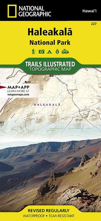
Haleakalā National Park has two access points. The more heavily traveled of the two leads to the Summit District from the tourism-heavy side of the island, between the resort areas of Wailea and Kahului; the other access point is the community of Kīpahulu, on the remote eastern shore, near the town of Hāna.
First stop: Park Headquarters Visitor Center at 7,000 feet, in the Summit District. Here, get information on trail conditions, permits, interpretive programs, and sightseeing. For all hikes, visitors should be prepared with water, snacks, rain gear, sunscreen, and proper footwear, and share hiking plans with friends or family outside the park. Due to ever changing conditions, hikers should dress in layers and be prepared for all types of weather.
Several trailheads are located near the Park Headquarters Visitor Center, including Hosmer Grove and Halemau‘u Trail, along with two overlook points—Leleiwi and Kalahaku—that offer spectacular views into the crater. Kalahaku is only accessible from the downhill lane, so it’s best to head there on your way back down.
Indeed, a more in-depth exploration of the park can be had by embarking on any of the hiking trails that start at Hosmer Grove, the Halemau‘u trailhead, the Haleakalā Visitor Center on the crater rim, or the Kīpahulu Visitor Center on the coast, near Hāna.
Several miles up the road from the Park Headquarters Visitor Center is the Haleakalā Visitor Center (at 9,740 feet) and just beyond that is the summit (at 10,023 feet).
From the Haleakalā Visitor Center, housed in a historic stone building, you can head out for a day hike or longer. More than 35 miles of trails lead through the crater’s Wilderness area, ranging from 10-minute walks to trails that require overnight stays. Be aware that most people have a hard time hiking at this elevation; until you have acclimatized, know your limits.
Keonehe‘ehe‘e (Sliding Sands) Trailhead, adjacent to the Haleakalā Visitor Center, leads down into the crater itself, traversing fascinating, lunar-like terrain. Hawaii’s state bird, the nēnē, is commonly spotted in this vicinity of the park.
Just outside park boundaries but clearly visible from the summit is Haleakalā Observatory, also known as Science City. Closed to the public, the astrophysical complex is operated by the University of Hawaii, the U.S. Air Force, and others.
Useful Information
How to get there
The Summit District’s park headquarters and Haleakalā’s 10,023-foot summit can be reached from Kahului via Hawaii 37 to 377 to 378. Driving time to the summit from Kahului is approximately 1.5 hours. Visitors should drive very cautiously; the road bisects endangered species habitat. The Kīpahulu District is reached via Hawaii 36 to 360 to 31. Driving time from Kahului is approximately 3.5 hours. Fill your gas tank and bring food with you; neither is available in the park. Both districts are remote
When to go
The park is open year-round, 24 hours a day. Temperatures commonly range between 30°F and 65°F. With the windchill factor, the summit temperature can drop below freezing.
Visitor Centers
Park Headquarters Visitor Center, at 7,000 feet; Haleakalā Visitor Center, at 9,740 feet; Kīpahulu Visitor Center, at mile marker 42 on Hāna Hwy.
Headquarters
P.O. Box 369 Makawao, HI 96768 nps.gov/hale 808-572-4400
Camping
The Kīpahulu District has a drive-in campground, as does the Summit District at Hosmer Grove. Both accommodate campers on a first-come, first-served basis. Hiking access to all Wilderness campgrounds and cabins is via the Sliding Sands and Halemau’u trails or Kaupō Gap. Permits from Park Headquarters Visitor Center are required for backcountry camping. Advance reservations are necessary for backcountry cabins.
Lodging
Kula provides the closest lodging to the Summit area; many visitors stay in hotels in Wailea and Kīhei (gohawaii .com/maui). The nearest lodging to Kīpahulu is in Hāna (hanamaui.com).
US National Parks Map
About the Guide
