
Nearly 8,000 years ago, Mount Mazama exploded in an eruption 100 times more powerful than the one that decimated Mount St. Helens in 1980. The mountain basically collapsed in on itself to form a vast cliff-lined basin. Over the centuries, precipitation, mostly in the form of snow (more than 500 inches a year on average), flowed in the caldera and, with no outlet to drain the water, Crater Lake was born. Nestled near the western shoreline, Wizard Island represents Mazama’s attempt to rebuild itself. It was pushed up by volcanic activity in later eruptions.
Buy for $14.95
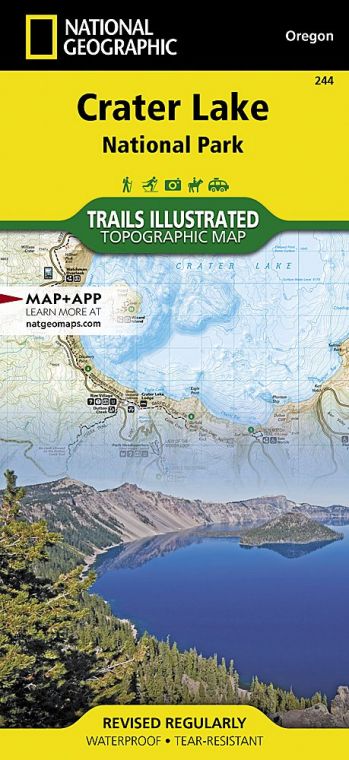
While the core of the park is Crater Lake itself, the surrounding mountains and high plateaus offer unique lessons on volcanic terrain.
How to Visit
Park highlights can be experienced in a day, but a long weekend is best. For single-day visits, plan an early start from Rim Village to get the dramatic early morning light across the lake. Start north on Rim Drive to complete the 33-mile loop clockwise, stopping to take the short hike up the Watchman Trail for a look east across the blue lake before continuing to the north rim. The Cleetwood Cove Trail leads to the lakeshore. The hike is easy, but be prepared for the steep 1-mile return (there is no other way to get back to the rim). The final leg of the loop runs through the forests and valleys south of the lake.
Information
How to get there
Ore. 62 cuts through the southern portion of the park complex, providing access from Medford. U.S. 97 runs just east of the park, offering access to the north end by way of Ore. 138. Nearby airports: Klamath Falls Regional Airport and Roge Valley International Airport, in Medford.
When to go
Because of the park’s position high in the Cascade Mountains, winter comes early and lingers long. Most of the park’s roads aren’t clear until late June or early July (they start gathering snow in late Oct.). The Rim Drive typically closes for the winter season by Nov. 1. Rim Village remains open year-round for winter recreational activities.
Visitor Centers
The Rim Village Visitor Center, located along the rim 7 miles north on Ore. 62, is open late May through late Sept. Steel Visitor Center, 4 miles north of Ore. 62, operates year-round.
Headquarters
P.O. Box 7 Crater Lake, OR 97604 nps.gov/crla 541-594-3000
Camping
The park complex offers two campgrounds. Mazama Campground has 214 sites, three-quarters of which may be reserved (craterlakelodges.com). The 16 tent sites at Lost Creek Campground are first come, first served. A free permit, available from park headquarters, is needed for backcountry camping.
Lodging
Crater Lake Lodge at Rim Village (midMay through Oct.) and the Cabins at Mazama Village (mid-May through late Sept.) are both operated by Crater Lake Hospitality (travelcraterlake.com). For lodging outside the park check with the Klamath County Chamber of Commerce (klamath.org/visitors) or the Medford/Jackson County Chamber of Commerce (medfordchamber.com).
US National Parks Map
About the Guide
