
For those traveling it on foot, horseback, or in a covered wagon, this rugged terrain was certainly a bad land; for modern visitors, it’s nothing short of wondrous.
Buy for $14.95
Today’s scenery began forming when streams (especially the White River to the south) started cutting buff, yellow, pink, and brown. After a rain, the land displays a seemingly infinite spectrum of subtle tones.
The park’s formations comprise a section of a geologic feature called the Wall. This 100-mile-long natural barrier ridges the landscape, dividing western South Dakota’s upper and lower grassland regions. The soft rock erodes easily, at the rate of about an inch a year, which means that in another 500,000 years all this craggy country could be a flat plain.
More than half the park is grassland, where bison and pronghorn graze; bighorn sheep clamber about the steep slopes. More than 200 species of birds have been recorded in the park, and when rainfall has been sufficient, the prairie wildflower display is as colorful as it is varied. A drive-through park? Badlands can, and should, be so much more.
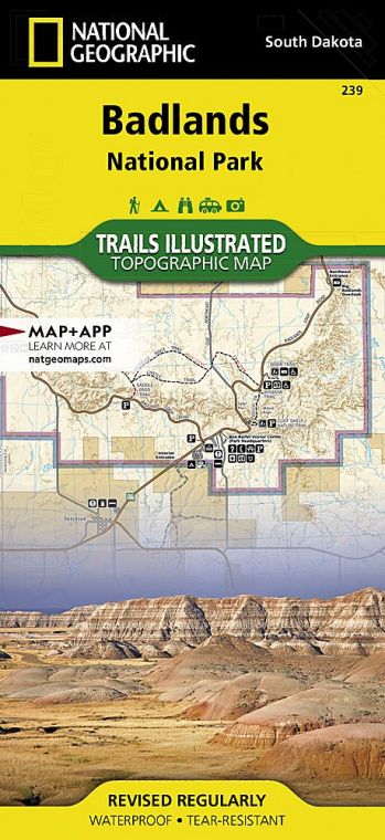
How to Visit
Indeed, it’s all too easy to exit Interstate 90, drive the 39-mile loop road while stopping for photos, and be back on the freeway in a couple of hours. It’s much more rewarding to spend an entire day or two exploring the park: walking among the bizarre formations, driving the Sage Creek Rim Road, taking in a ranger-led program, and learning about the trove of fossils found here, from ancient alligators to the ancestors of today’s dog.
Eastbound travelers on I-90 in a hurry can enter the park at the Pinnacles Entrance, drive the scenic road, and rejoin I-90 north of the Northeast Entrance, where westbound drivers enter. You’ll be better prepared to enjoy the park, though, if you use the latter entrance. You can stop at the informative Ben Reifel Visitor Center to get advice from a ranger and to view exhibits on geology, fossils, and natural history.
While driving the Badlands Loop Road you should, at a minimum, walk the 0.75-mile Door Trail or the 0.25-mile Fossil Exhibit Trail. Where the loop road turns north to exit the park, continue on unpaved Sage Creek Rim Road for the best chance to see bison, pronghorn, and other wildlife.
Useful Information
How to get there
From Rapid City, SD (about 75 miles west), take I-90 east to Wall, then continue south on S. Dak. 240.
When to go
Summer sees the park’s highest visitation—and often very hot weather. Spring and fall offer more moderate temperatures. Winter can be beautiful in the park, but watch the forecast for occasional snowstorms.
Visitor Centers
Ben Reifel Visitor Center, on S. Dak. 240, 8 miles south of I-90, is open year-round. White River Visitor Center, on S. Dak. 27, is about 20 miles south of the town of Scenic on the Pine Ridge Reservation and is open summer only.
Headquarters
25216 Ben Reifel Road Interior, SD 57750 nps.gov/badl 605-433-5361
Camping
Cedar Pass Campground (96 sites) is open year-round; for information on this privately managed site, contact Cedar Pass Lodge (see below). The less developed Sage Creek Campground, also open year-round, offers open camping. There is no water available. Both campgrounds are first come, first served. No permit is required for backcountry camping, although campers are encouraged to contact a ranger before a trip. Backpackers may camp anywhere in the park that is at least one-half mile from any road or trail and not visible from park roads.
Lodging
Lodging is available in the park at concessioner-operated Cedar Pass Lodge (cedarpasslodge.com; 877-386- 4383) and in the nearby town of Wall (wall-badlands.com), adjacent to the park.
US National Parks Map
About the Guide
