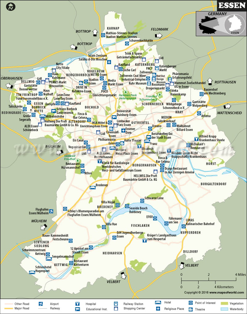
Essen City
Situated in North Rhine-Westphalia, Essen is Germany’s ninth largest city. As of current estimation, the city has a population of 581,000 people. The birth of the city can be traced back to 845; however, in modern times, the start of industrialization turned Essen into one of Germany’s prominent coal and steel centers. Today, it is home to 13 of the 100 top German companies.
How to reach Essen
Düsseldorf airport is the nearest airport to Essen. It is located some 26 kilometers from the city. After landing at Düsseldorf, commuters can catch a bus or train to Essen. The train is operated by Deutsche Bahn and will transport you from Düsseldorf airport to the main train station in Essen within 30 minutes.
As Essen has an efficient rail network, getting to the city from any part of Europe will not be difficult. The Essen Hauptbahnhof, which is the city’s main station, provides local, regional, and long-distance services. You can also opt for the bus and some services include S-Bahn, Regional Express, and Regionalbahn.
Popular attractions in Essen
Essen is an interesting place and some popular tourists attractions include:
Zollverein Coal Mine Industrial Complex: It was established in 1847, and in 2001 was declared a UNESCO World Heritage Site. Essen’s Museum Folkwang is a popular art gallery. Some other attractions are Essen Minster; Grugapark and the Botanic Garden; Zollverein Park; the Old Synagogue, among others.
