8.2K
- Antigua and Barbuda Cities - Saint Johns, Seaton, Tyrell
- Neighboring Countries - St Kitts And Nevis, Dominica, St Lucia, St Vincent and the Grenadines, Barbados
- Continent And Regions - North America Map, Americas Map
- Other Antigua and Barbuda Maps - Antigua Map, Antigua Blank Map, Antigua Political Map, Antigua Physical Map, Antigua Flag
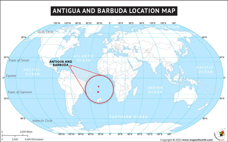
The country of Antigua and Barbuda is on the North American continent and the latitude and longitude of the country are 17.20° N and 61.48° W.
The neighboring countries of Antigua and Barbuda are:
maritime boundaries
- France
- Saint Kitts and Nevis
- Anguilla
- Montserrat
- Saint Barthélemy
Facts About Antigua and Barbuda |
| Country Name | Antigua and Barbuda |
|---|---|
| Continent | North America |
| Capital and largest city | Saint John’s |
| Area | 440 km2 (170 sq mi) Water (%) negligible |
| Population | 99,665 estimated |
| Lat Long of Antigua and Barbuda | 17.20° N, 61.48° W |
| Official Language | English and French |
| Calling Code | +1-268 |
| Time Zone | AST (UTC-4) |
| Airports in Antigua and Barbuda | 2 Airports in Antigua and Barbuda |
| Neighbour island | Montserrat, Anguilla, Saint Kitts and Nevis |
| Internet TLD | .ag |
| Currency | East Caribbean dollar (XCD) |

 Antigua and Barbuda Attractions