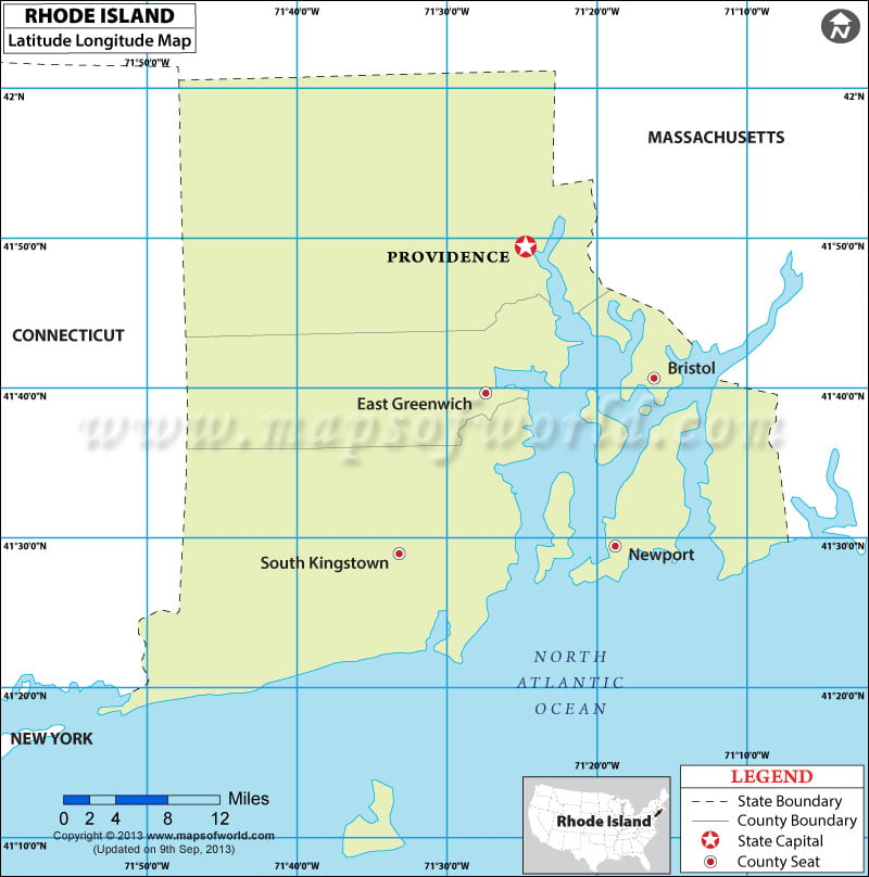
US States Map > Rhode Island Map > Rhode Island Latitude and Longitude Map

Rhode Island Latitude and Longitude Map

by Vishal Kumar

  Latitude and Longitude of Rhode Island Cities and Towns Location Latitude Longitude Ashaway 41.43 -71.79 Bradford 41.39 -71.75 Carolina 41.46 -71.66 Central Falls city 41.89 -71.39 Chepachet 41.91 -71.67…


https://www.mapsofworld.com/usa/states/rhode-island/maps/rhode-island-lat-long-map.jpg


Latitude and Longitude of Rhode Island Cities and Towns

Location Latitude Longitude
Ashaway 41.43 -71.79
Bradford 41.39 -71.75
Carolina 41.46 -71.66
Central Falls city 41.89 -71.39
Chepachet 41.91 -71.67
Clayville 41.77 -71.69
Cranston city 41.77 -71.48
Cumberland Hill 41.97 -71.46
East Providence city 41.8 -71.36
Foster Center 41.79 -71.73
Greene 41.7 -71.73
Greenville 41.88 -71.56
Harmony 41.9 -71.61
Harrisville 41.97 -71.68
Hope Valley 41.52 -71.72
Kingston 41.47 -71.52
Melville 41.56 -71.3
Misquamicut 41.32 -71.82
Narragansett Pier 41.43 -71.47
Newport city 41.48 -71.32
Newport East 41.52 -71.29
Pascoag 41.95 -71.7
Pawtucket city 41.87 -71.37
Providence city 41.82 -71.42
Quonochontaug 41.34 -71.71
Tiverton 41.65 -71.2
Valley Falls 41.92 -71.39
Wakefield-Peacedale 41.45 -71.5
Warwick city 41.7 -71.42
Watch Hill 41.32 -71.85
Weekapaug 41.34 -71.76
Westerly 41.37 -71.81
Woonsocket city 42 -71.5
Wyoming 41.51 -71.69

Related Maps