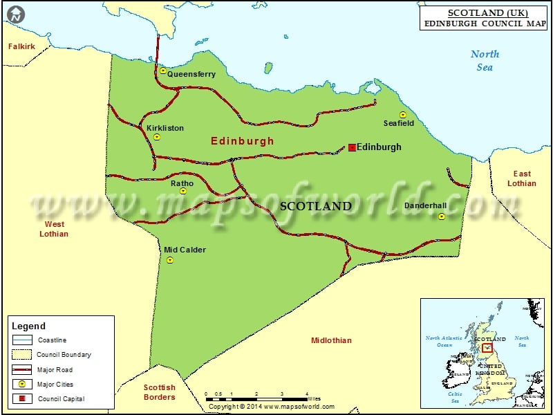
Under the Local Government Act of 1994, there emerged a unitary council area in the year 1996, commonly referred to today as the City of Edinburgh Council. It encompasses the post-1975 City of Edinburgh district that belongs to the Lothian region. As one of the 32 council areas of Scotland the Edinburgh council to has been endowed with all the rightful powers. It currently houses 18,617 employees, which makes it the second-highest employer in the City of Edinburgh.
The City of Edinburgh Council has its center in Scotland’s capital city and the headquarters of the City of Edinburgh Council is the Edinburgh City Chambers. The council is structured with 58 councilors who are elected every four/five years from within the city’s 17 multi-member electoral wards. Matters of the local administration like planning, housing, local transport, economic developments, parks, regeneration, etc. are managed by the City of Edinburgh Council. It was for this very purpose that the City of Edinburgh was segmented into 17 wards.
Robert Aldridge is currently the Lord Provost of Edinburgh and his duties are very similar to the duties of a Mayor of a city in some other countries. The Labour/Scottish National Party union has a majority of members on the Council.
Cities in Edinburgh Council |
|||
| Council | City | Latitude | Longitude |
|---|---|---|---|
| Edinburgh | Mid Calder | 55.88 | -3.38 |
| Edinburgh | Danderhall | 55.91272 | -3.105712 |
| Edinburgh | Ratho | 55.92 | -3.37 |
| Edinburgh | Kirkliston | 55.95 | -3.4 |
| Edinburgh | Seafield | 55.97 | -3.15 |
| Edinburgh | Queensferry | 55.988163 | -3.397014 |
