2.1K
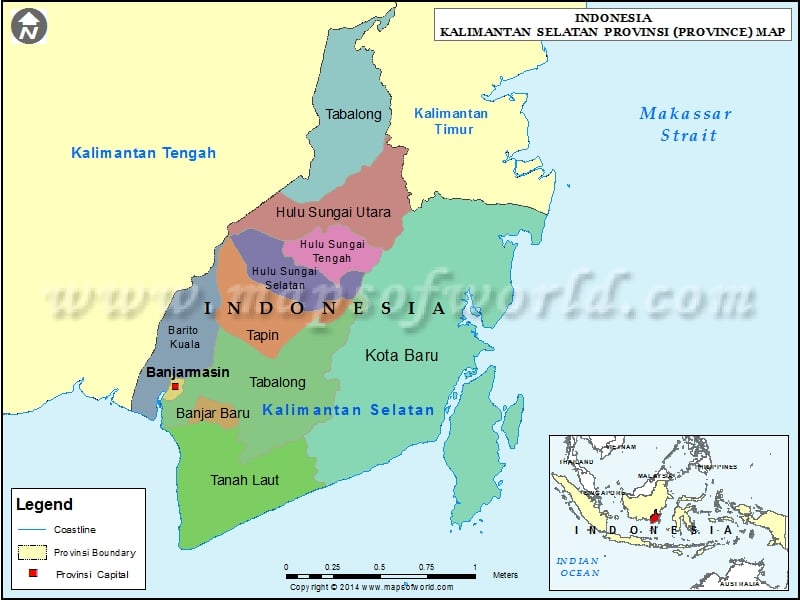
Regencies of Kalimantan Selatan, Indonesia |
|---|
| Regency | Headquarters | Area(km.²) | Population |
|---|---|---|---|
| Balangan | Paringin | 1878 | 112430 |
| Banjar | Martapura | 4668 | 506839 |
| Banjar Baru | Banjarbaru | 371 | 199627 |
| Banjarmasin | Banjarmasin | 72 | 625481 |
| Barito Kuala | Marabahan | 2996 | 276147 |
| Hulu Sungai Selatan | Kandangan | 1805 | 212485 |
| Hulu Sungai Tengah | Barabai | 1472 | 243460 |
| Hulu Sungai Utara | Amuntai | 893 | 209246 |
| Kota Baru | Kotabaru | 9483 | 290142 |
| Tabalong | Tanjung | 3767 | 218620 |
| Tanah Bumbu | Batulicin | 5007 | 267929 |
| Tanah Laut | Pelaihari | 3631 | 296333 |
| Tapin | Rantau | 2701 | 167877 |
