11 Countries that lie on the Equator shown on a World Map
The equatorial belt is home to the most expansive rainforests in the world. The South American Amazon rainforest is not only the largest in the world but is also exceptionally rich in flora and fauna. In this article, we will learn about the countries on the equator, what is the equator and more.
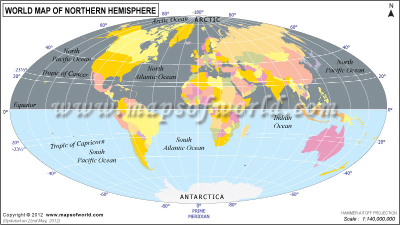
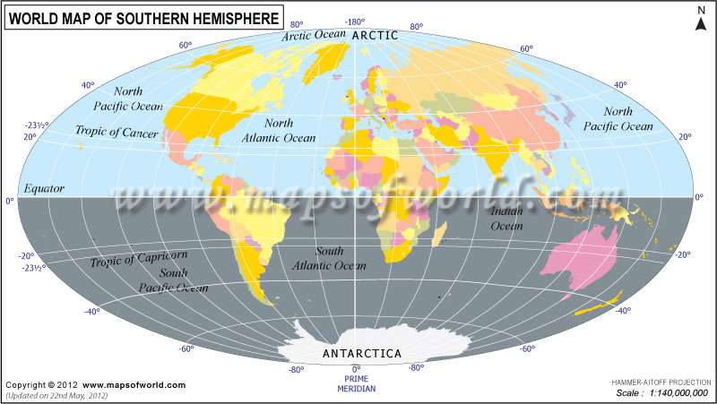
The equator is like a big imaginary line around the middle of the Earth. It splits the Earth into two halves, the top part called the Northern Hemisphere, and the bottom part called the Southern Hemisphere. It’s right in the middle between the North and South Poles. Because it’s in the middle, places on the equator get the strongest sunlight, making them usually warm. As the Earth rotates, locations along the Equator experience relatively consistent day lengths and temperatures throughout the year, giving rise to a tropical climate in many regions.
Because of Earth’s tilt, the equator experiences nearly equal day and night hours throughout the year. It’s also the widest part of Earth, with the circumference slightly larger than around the poles. People use the equator to find their way around the Earth and study the weather and geography.
The Equator isn’t a location in itself, since it’s an imaginary line that circles the entire Earth. The Equator is like a giant circle line that goes around the Earth, but you can’t go to a specific spot and call that “the Equator.” It’s all over, but we call it 0 degrees latitude which extends horizontally around the Earth. This imaginary line passes through several countries in Africa, South America, and Asia. Additionally, it crosses the Atlantic Ocean, the Pacific Ocean, and the Indian Ocean.
So, the Equator is the imaginary line, equidistant from the geographic poles, and lies in a plane perpendicular to the Earth’s axis.
The Equator runs directly through Ecuador, after which the country is named. A monument called the “Mitad del Mundo” (Middle of the World), is marking the spot.
The Equator passes through the northern region of Brazil, particularly the state of Amazonas.
The Equator crosses the southern part of Colombia, near the border with Ecuador.
The Equator intersects several islands of Indonesia, including Sumatra, Kalimantan (part of Borneo), Sulawesi, and Halmahera.
The Equator runs through the western part of Gabon in Central Africa.
The Equator crosses the DRC, particularly in the central and western regions.
The Equator passes through southern Uganda.
The Equator crosses central Kenya.
The Equator passes through the northern part of the country.
This island nation in the Gulf of Guinea, is crossed by the Equator.
The Equator passes through the territorial seas of Maldives, south of Gaafu Dhaalu Atoll.
The Equator passes through the northern region of Somalia particularly, in the vicinity of the town of Galdogob.
The Equator runs through the northern part of the Line Islands group of Kiribati, specifically intersecting Teraina (Washington Island) and Tabuaeran (Fanning Island).
Related Links
Greenland is a big island covered in ice and snow that looks amazing. It has…
Canada has 10 provinces and 3 territories. Each has its own special culture, land, and…
Israel is a country in the Middle East, it's known as the ancestral homeland of…
North Korea is a country that keeps to itself and doesn't share much. It's ruled…
Scotland is a country in the north of the United Kingdom. It's got a bunch…
Europe is a very wide continent, so the sun rises and sets at different times…