
This is archetypal Alaska, with its towering mountains and wealth of wildlife—to see and hear. Night after night, the haunting howls of wolves fill the air. Gates of the Arctic National Park and Preserve occupies the heart of Alaska.
Buy for $14.95
The park is primarily alpine tundra with some boreal forest, which consists of spruce, birch, willow, and aspen, all stunted by the short growing season. Millions of ponds dot the valleys, home to a world of waterfowl.
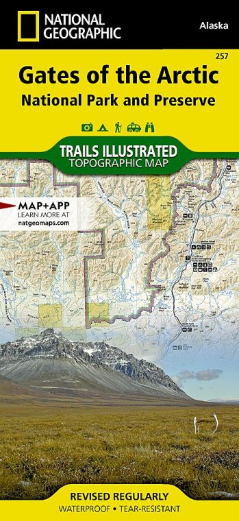
The park includes the Endicott Mountains to the east and the Schwatka Mountains in the southwest, both sub-ranges of the grand Brooks Range, which stretches more than 700 miles across Alaska and Canada.
How to Visit
Gates of the Arctic is truly remote. The only way to access the park is to fly or hike in, unless you’re really good with sled dogs and extreme winter weather. But charter planes make much of the park accessible.
The park has no trails; visitors can hike anywhere, though it is important to know that river crossings are cold and dangerous, and that tussocks (clumps of sedge grasses growing in mounds from ground that’s often boggy) can really slow you down.
No matter where you choose to hike, prepare to be challenged. That said, there are few feelings as satisfying as hiking into an alpine valley, looking at a landscape very few ever get to see, and knowing you got there under your own power. Guide services offer a range of exploration options. Commercial operators offer trips on the Noatak and Alatna Rivers.
Useful Information
How to get there
Air taxis connect the park with Bettles; it’s easy (although expensive) to get to Bettles or Anaktuvuk Pass from Fairbanks via commercial air carrier. More remote destinations require additional advance planning. You can drive to Coldfoot, on the Dalton Highway, 280 miles north of Fairbanks, and hike into the park—or charter a plane. In winter, an ice road, built primarily of snow and ice, connects Bettles and the Dalton Highway. This is a trip only for the experienced traveler with a properly equipped vehicle or snowmachine.
When to go
The park is open year-round. A winter visit is a challenging and potentially dangerous proposition. July and Aug. are nearly perfect. After the summer, the tundra is washed with autumn color.
Visitor Center
The park’s visitor center (907-692-5494), in Bettles, is open daily from June to Sept.
Headquarters
Bettles Visitor Center (seasonal) P.O. Box 26030 Bettles, AK 99726 nps.gov/gaar 907-692-5494 For information off season, contact the Fairbanks Alaska Public Lands Information Center (FAPLIC) at 907-459-3730.
Camping
You can camp anywhere in the park; no permit is needed. It is wise, however, to register your itinerary with park officials. Observe all bear precautions, including using bear-resistant food canisters. Take enough extra food and water to allow for being weathered in for a few days—a not uncommon occurrence.
Lodging
Operated by concessioners, Iniakuk Lake Wilderness Lodge (gofarnorth .com; 877-479-6354) and Peace of Selby Wilderness Lodge (alaskawilderness .net; 907-672-3206) offer cabins in the park. In Bettles is the Bettles Lodge (bettleslodge.com; 907-692-5111).
US National Parks Map
About the Guide

