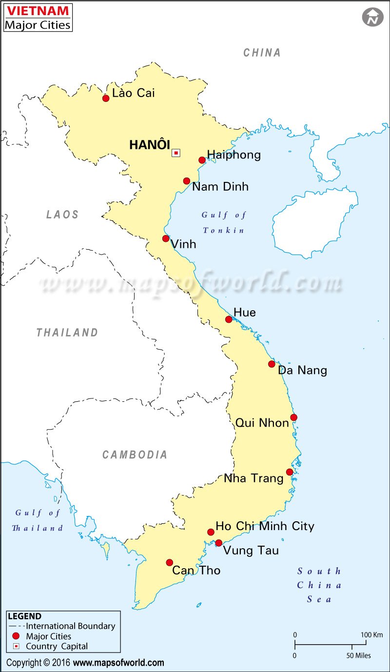
The province of Hung Yen lies in the northern part of the Vietnamese territory. It occupies a total area of 923.5 square kilometers. Hung Yen City is the provincial capital. The population figures
The composite population consists of people from different ethnic backgrounds. These include the Hoa, the Tay, the San Diu and the Viet communities. The province is divided into several districts to enable efficient administration of the various parts of the province. The various districts in Hung Yen are My Hao, Tien Lu, An Thi, Phu Cu, Van Lam, Yen My, Khoai Chau, Kim Dong and Van Giang.
Hung Yan in Vietnam is situated in the Northern part of the Vietnam plains. There are a couple of rivers which flow through the province namely the Hong River and the Luoc River. Agriculture is considered to be the mainstay of the Hung Yen economy. It is located in the Northern Focal Economic Zone. The region is also replete with several sightseeing spots. These include destinations like the Da Trach Pond, Hien Street and the Con Son-Kiep Bac Historical and Cultural Area.
Other City Maps |