


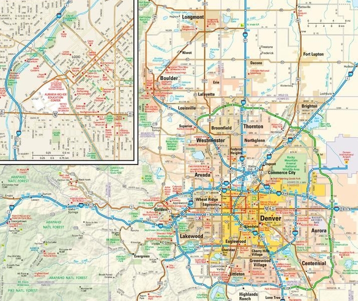
US Zip Code Boundary Maps
Large sized map prints of Zip Code maps for cities, counties & regions across the country. you can also create a customised map centered on the area of your interest
Florida Zip Code Maps


California Zip Code Map


Maps of all 50 States


Most Viewed Maps


 Featured Publisher
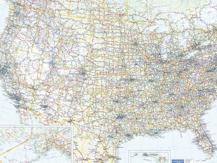
We stock maps and atlases by Lucidmap. The publishing company currently holds the largest Canadian market share and offers excellent cartographic services and mapping products. You can check out their printed maps, atlases and fold map titles at our store and order online!
Buy Maps Online
USA Lakes Maps


Maposter of the Day
Daily updates on hidden gems from the maptrove collection
Maps of Australia States for Map Lovers & Expatriates
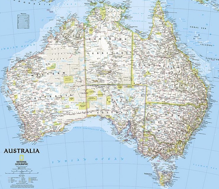
The country of Australia is divided into a number of political divisions that include New South Wales, Queensland, Northern Territory, and many more. We depict these places through our maps of Australia states and territory. These maps are published by renowned map publishers from across the globe and are ideal for wall decor in homes […]