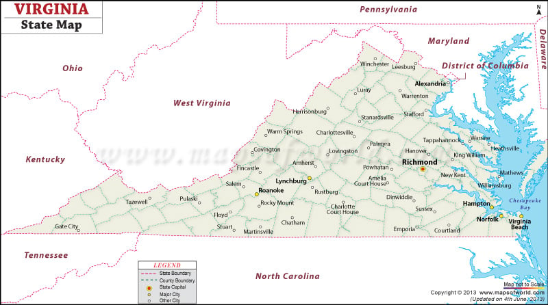
Virginia Map provides relevant information about the physiography, locational details of the towns and cities and politically and historically important areas of the state. The map of Virginia also highlights the major interstate highways and railway routes which intersect all the significant locations of the state. Richmond, the capital city of the state, is vividly indicated in the Virginia map. Major towns and cities such as Marion, Norton, Chatham, Keysville, Covington, Accomac, Winchester, Alexandria, Galax, Stanley, Woodstock, Orange and many others are prominently marked in the map of Virginia. Also, the 95 counties of the state can be found with their respective geographical positions in the Virginia map.
Interstate 81 and the extensive railway routes are clearly marked in the road and rail map of Virginia. Surrounded by district of Columbia, Atlantic Ocean, Kentucky, North Carolina, Maryland and Tennessee, Virginia lies on the eastern coast of United States.
 Wall Maps