1.1K
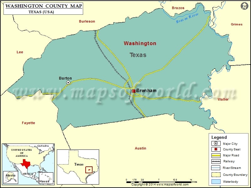
Check this Texas County Map to locate all the state’s counties in Texas Map.
Mountain Peaks in Washington County
| Mountain Peak/Hill | Elevation [Meter] |
|---|---|
| Green Mountain | 86 |
| Homeymeyer Mountain | 139 |
| Shepherd Mountain | 129 |
More Maps of Washington County
- Washington County Map, Wisconsin
- Washington County Map, Vermont
- Washington County Map, Nebraska
- Washington County Map, Alabama
- Washington County Map, Florida
- Washington County Map, New York
- Washington County Map, North Carolina
- Washington County Map, Tennessee
- Washington County Map, Georgia
Airports in Washington County
| Airport Name |
|---|
| Brenham Municipal Airport |
| Faust Farm Airport |
| Flying C Ranch Airport |
| Gay Hill Farm Airport |
| Live Oak Ranch Airport |
| Rancho Verde Airport |
| Sky Lane Ranch Airport |
Cities in Washington County
| City | Population | Latitude | Longitude |
|---|---|---|---|
| Brenham city | 15716 | 30.157899 | -96.394884 |
| Burton city | 300 | 30.181248 | -96.599933 |
Golf Courses in Washington County
| Name of Golf Course | Latitude | Longitude |
|---|---|---|
| Brenham Country Club-Brenham | 30.20217 | -96.356273 |
 Wall Maps