797
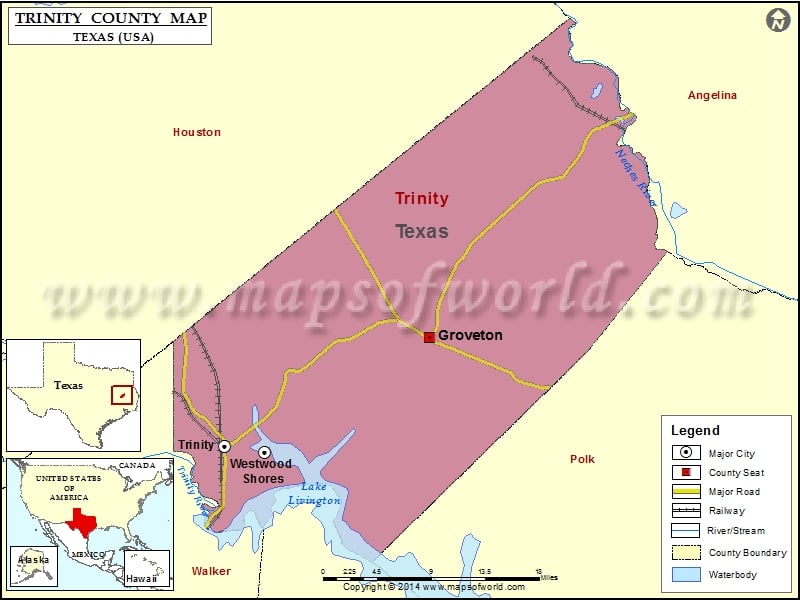
Check this Texas County Map to locate all the state’s counties in Texas Map.
Mountain Peaks in Trinity County
| Mountain Peak/Hill | Elevation [Meter] |
|---|---|
| Hooper Bluff | 52 |
Airports in Trinity County
| Airport Name |
|---|
| Ehni Airport |
| Etmc Trinity Heliport |
| Groveton Trinity County Airport |
| North Cedar Airport |
Cities in Trinity County
| City | Population | Latitude | Longitude |
|---|---|---|---|
| Groveton city | 1057 | 31.057165 | -95.126859 |
| Trinity city | 2697 | 30.944454 | -95.373563 |
| Westwood Shores | 1162 | 30.937595 | -95.325438 |
Golf Courses in Trinity County
| Name of Golf Course | Latitude | Longitude |
|---|---|---|
| Lake Estates Golf Club-Trinity | 30.886387 | -95.366567 |
| Westwood Shores Country Club-Trinity | 30.85032 | -95.18422 |
| Whispering Pines Golf Club-Trinity | 30.935658 | -95.323573 |
 Wall Maps