850
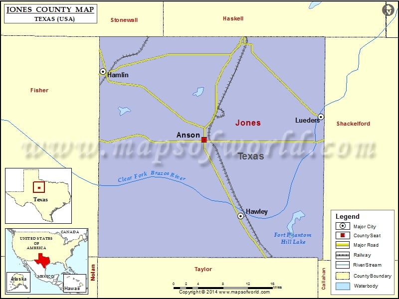
Check this Texas County Map to locate all the state’s counties in Texas Map.
Mountain Peaks in Jones County
| Mountain Peak/Hill | Elevation [Meter] |
|---|---|
| Skinout Mountain | 571 |
More Maps of Jones County
Airports in Jones County
| Airport Name |
|---|
| Arledge Field |
| Hamlin Memorial Hospital Heliport |
| Hamlin Municipal Airport |
| J Bar Wc Ranch Airport |
| Steen Airport |
Cities in Jones County
| City | Population | Latitude | Longitude |
|---|---|---|---|
| Anson city | 2430 | 32.754933 | -99.896237 |
| Hamlin city | 2124 | 32.889778 | -100.132892 |
| Hawley city | 634 | 32.603697 | -99.811142 |
| Lueders city | 346 | 32.800432 | -99.623217 |
Golf Courses in Jones County
| Name of Golf Course | Latitude | Longitude |
|---|---|---|
| Anson Municipal Golf Course-Anson | 32.745728 | -99.894705 |
| Stamford Golf & Country Club-Stamford | 32.94102 | -99.776629 |
| Tangle Oaks Golf Club-Hawley | 32.672659 | -99.760143 |
 Wall Maps