949
Mountain Peaks in Calhoun County
| Mountain Peak/Hill | Elevation [Meter] |
|---|---|
| Dixon Hall | 330 |
| Stony Point Hill | 297 |
More Maps of Calhoun County
- Calhoun County Map, South Carolina
- Calhoun County Map, Alabama
- Calhoun County Map, Florida
- Calhoun County Map, Texas
- Calhoun County Map, Georgia
Airports in Calhoun County
| Airport Name |
|---|
| Ameritech Center Heliport |
| Battle Creek Health System Helistop |
| Borgess Medical Center Heliport |
| Brooks Field |
| Custer Main Heliport |
| Midway Airport |
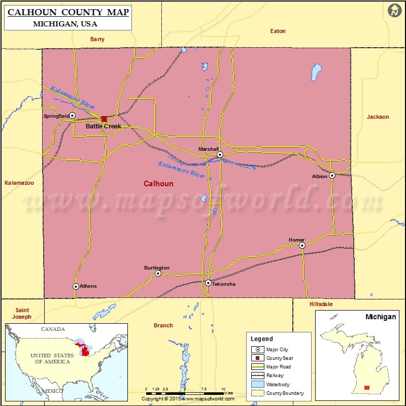
Cities in Calhoun County
| City | Population | Latitude | Longitude |
|---|---|---|---|
| Albion city | 8616 | 42.24779 | -84.757246 |
| Athens village | 1024 | 42.086587 | -85.235565 |
| Battle Creek city | 52347 | 42.298473 | -85.229582 |
| Brownlee Park | 2108 | 42.325453 | -85.135512 |
| Burlington village | 261 | 42.104895 | -85.078391 |
| Homer village | 1668 | 42.146135 | -84.810335 |
| Level Park-Oak Park | 3409 | 42.364175 | -85.266506 |
| Marshall city | 7088 | 42.262187 | -84.960084 |
| Springfield city | 5260 | 42.324571 | -85.237005 |
| Tekonsha village | 717 | 42.095875 | -84.988081 |
 Wall Maps