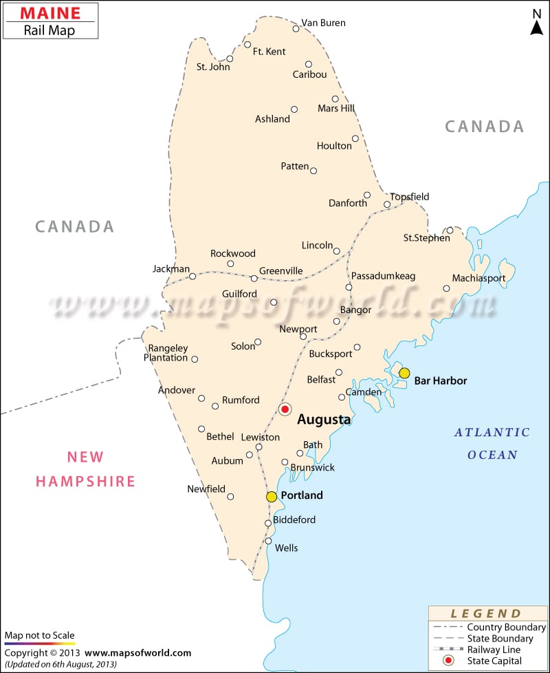
Maine Railway Map indicates the entire rail route which connects and passes through various cities, villages and towns of the state. From the year 1832 the railroad industry of Maine started to flourish in the state.
Maine Central Railroad is known to be the first ever of its kind which had its tracks laid down from Bangor to Calais. In the year 1862 this very Maine Central railroad started operating in such areas as Augusta, Waterville, Brunswick and Portland. In later years, Maine Central Railroad extended its rack to Mattawamkeag from Bangor. Railroad of Bangor and Aroostook established in 1891 passes through Houlton, Piscataquis, Katahdin, Bangor and Aroostook cities. Eastern Maine Railway of the state provides train services to all the areas falling in between Brownville and Vanceboro. Boston and Maine Railroad is another important transportation link which passes through the counties of Cumberland and York. St. Lawrence and Atlantic Railroad of Maine is also a significant service provider which, apart from the state, offers trains to Quebec, Vermont and New Hampshire. Wells, Old Orchard Beach, Portland and Saco are some of the prominent train stations of Maine. Tourists traveling through trains of the state can get useful information about the same through the Maine state map also.
 Wall Maps