1.1K
Mountain Peaks in Pike County
| Mountain Peak/Hill | Elevation [Meter] |
|---|---|
| Calvert Hill | 218 |
| Pilot Knob | 191 |
More Maps of Pike County
Airports in Pike County
| Airport Name |
|---|
| Curry Airport |
| Illini Community Hospital Heliport |
| Mountain Airport |
| Pittsfield Penstone Municipal Airport |
| Potter Airport |
Cities in Pike County
| City | Population | Latitude | Longitude |
|---|---|---|---|
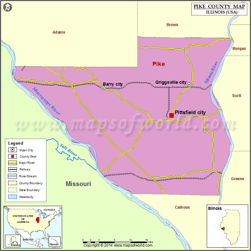
| Barry city | 1318 | 39.698285 | -91.039794 |
| Baylis village | 205 | 39.729436 | -90.909283 |
| Detroit village | 83 | 39.620147 | -90.67596 |
| El Dara village | 78 | 39.622696 | -90.991183 |
| Florence village | 38 | 39.628692 | -90.610697 |
| Griggsville city | 1226 | 39.707863 | -90.727284 |
| Hull village | 461 | 39.708643 | -91.203159 |
| Kinderhook village | 216 | 39.70374 | -91.151734 |
| Milton village | 271 | 39.564547 | -90.650116 |
| Nebo village | 340 | 39.442086 | -90.788072 |
| New Canton town | 359 | 39.637343 | -91.098246 |
| New Salem village | 137 | 39.707611 | -90.847841 |
| Pearl village | 138 | 39.459737 | -90.623728 |
| Perry village | 397 | 39.782276 | -90.747028 |
| Pittsfield city | 4576 | 39.620352 | -90.79164 |
| Pleasant Hill village | 966 | 39.443392 | -90.872843 |
| Time village | 23 | 39.561129 | -90.723366 |
| Valley City village | 13 | 39.707136 | -90.651398 |
Golf Courses in Pike County
| Name of Golf Course | Latitude | Longitude |
|---|---|---|
| Bow Lake Golf Course-Barry | 39.698445 | -91.029354 |
| Old Orchard Country Club-Pittsfield | 39.608633 | -90.769546 |
 Wall Maps