978
Mountain Peaks in Henderson County
| Mountain Peak/Hill | Elevation [Meter] |
|---|---|
| Gittings Mound | 230 |
More Maps of Henderson County
Airports in Henderson County
| Airport Name |
|---|
| Heeg Airport |
| Johnson Farm Airport |
| Meyer Airport |
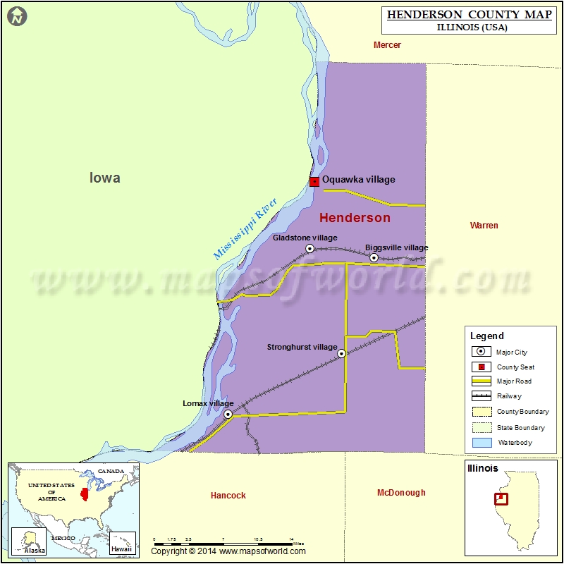
Cities in Henderson County
| City | Population | Latitude | Longitude |
|---|---|---|---|
| Biggsville village | 304 | 40.853931 | -90.862252 |
| Gladstone village | 281 | 40.864013 | -90.956706 |
| Gulf Port village | 54 | 40.807647 | -91.084504 |
| Lomax village | 454 | 40.678896 | -91.076212 |
| Media village | 107 | 40.769449 | -90.832651 |
| Oquawka village | 1371 | 40.937802 | -90.949866 |
| Raritan village | 138 | 40.695834 | -90.825047 |
| Stronghurst village | 883 | 40.746363 | -90.909315 |
Golf Courses in Henderson County
| Name of Golf Course | Latitude | Longitude |
|---|---|---|
| Hend Co Hills Country Club-Biggsville | 40.85047 | -90.868854 |
 Wall Maps