1.1K
Mountain Peaks in Fayette County
| Mountain Peak/Hill | Elevation [Meter] |
|---|---|
| Bowling Green Hill | 205 |
| Bridges Knob | 213 |
| Dean Hills | 196 |
| Island Hill | 171 |
| The Mound | 174 |
| White Oak Mound | 156 |
More Maps of Fayette County
- Fayette County Map, Alabama
- Fayette County Map, Texas
- Fayette County Map, Tennessee
- Fayette County Map, Georgia
Airports in Fayette County
| Airport Name |
|---|
| Fayette County Hospital Heliport |
| Harris Airport |
| Kuebler RLA Restricted Landing Area |
| Lutz Airport |
| Vandalia Municipal Airport |
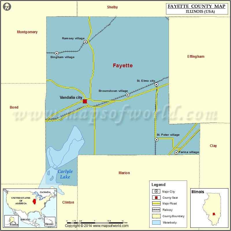
Cities in Fayette County
| City | Population | Latitude | Longitude |
|---|---|---|---|
| Bingham village | 83 | 39.112236 | -89.213728 |
| Brownstown village | 759 | 38.994331 | -88.955284 |
| Farina village | 518 | 38.830142 | -88.779606 |
| Ramsey Village | 1037 | 39.144244 | -89.110493 |
| St. Elmo city | 1426 | 39.02416 | -88.852323 |
| St. Peter village | 359 | 38.867559 | -88.850386 |
| Vandalia city | 7042 | 38.97517 | -89.111726 |
Golf Courses in Fayette County
| Name of Golf Course | Latitude | Longitude |
|---|---|---|
| Ramsey Lake Golf Course-Ramsey | 39.14465 | -89.108269 |
| Saint Elmo Golf Club-Saint Elmo | 39.028815 | -88.852559 |
| Vandalia Golf & Country Club-Vandalia | 38.971849 | -89.100149 |
 Wall Maps