1K
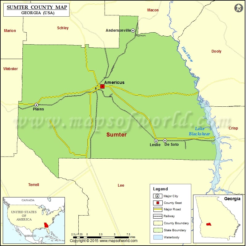
Check this Georgia County Map to locate all the state’s counties in Georgia Map.
Airports in Sumter County
| Airport Name |
|---|
| Lowell Field |
| Peterson Field |
| Souther Field |
More Maps of Sumter County
Cities in Sumter County
| City | Population | Latitude | Longitude |
|---|---|---|---|
| Americus city | 17041 | 32.073537 | -84.224754 |
| Andersonville city | 255 | 32.196539 | -84.145475 |
| De Soto city | 195 | 31.95479 | -84.063639 |
| Leslie city | 409 | 31.954509 | -84.086409 |
| Plains city | 776 | 32.03307 | -84.394528 |
Golf Courses in Sumter County
| Name of Golf Course | Latitude | Longitude |
|---|---|---|
| Brickyard Plantation Golf Club-Americus | 32.004625 | -84.112454 |
| Southwestern Golf Links-Americus | 32.047681 | -84.223625 |
| Wolf Creek Golf Club-Americus | 32.075252 | -84.289487 |
National Parks in Sumter County
| Name of Park | Latitude | Longitude |
|---|---|---|
| Andersonville NHS | 32.196762 | -84.130312 |
| Jimmy Carter NHS | 32.035925 | -84.392624 |
| Jimmy Carter NHS | 32.035249 | -84.401375 |
| Jimmy Carter NHS | 32.028364 | -84.424604 |
| Jimmy Carter NHS | 32.032954 | -84.394679 |
 Wall Maps