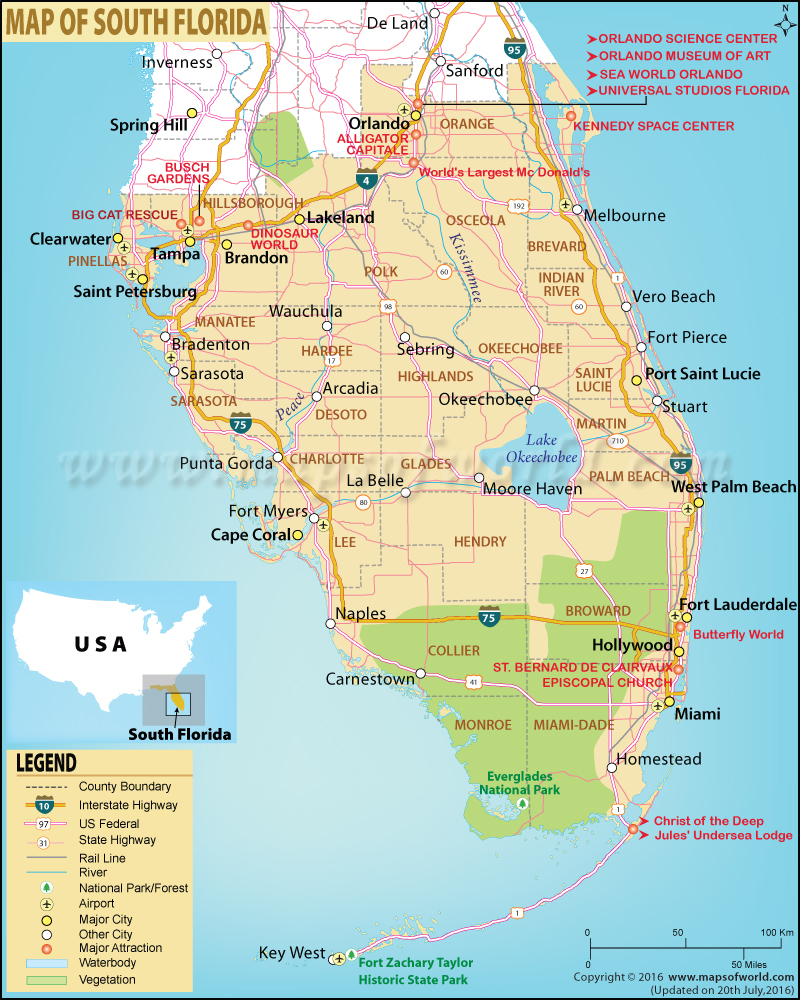
About South Florida
A cross-pollination of subcultures, South Florida comprises the southernmost part of the ‘Sunshine State’. The region includes Miami metropolitan area, the Florida Keys archipelago, and the Everglades. South Florida is the only area of the continental United States that has a tropical climate. Southwest Florida refers to the region along the southwest part of gulf coast.
Nicknamed “Capital of Latin America”, Miami is the fourth-largest urban area in the United States. The city is famous for beach festivals, Art Deco architecture, Latin American Cuisine, and trendy nightlife. The Florida Keys, extend in a gentle arc, make up the southernmost portion of the continental US. It is one of the best spots for sport-fishing and scuba diving in America. Key Largo is a premier destination and bills itself the “Diving Capital of the World”. The Seven Mile Bridge connects the Middle Keys to the Lower Keys.
A UNESCO World Heritage Site, the Everglades National Park features the largest subtropical wilderness in North America. Airboat tours, kayaking, hiking, birdwatching, and other adventure tours are on offer to watch unparalleled wildlife in the Everglades.
The Big Cypress National Preserve, Biscayne National Park, and Ten Thousand Islands National Wildlife Refuge are other popular travel destinations in South Florida.
 Wall Maps