East Coast of Florida Map
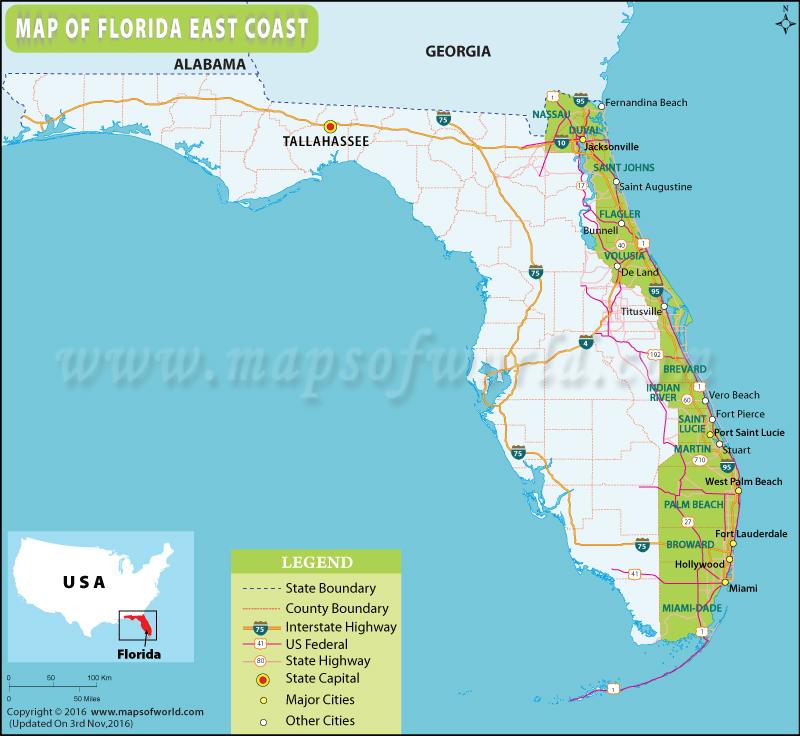
The coastline of Florida stretches along the Atlantic Ocean and the Gulf of Mexico. The east coast of Florida state in the United States extends along the Atlantic Ocean. It can be categorized into the following vernacular regions, north to south:
- First Coast
- Halifax area (Surf Coast)
- Space Coast
- Treasure Coast
- Gold Coast
The First Coast in northeast Florida comprises the coastal area around Jacksonville – the largest metropolitan area in North Florida. It was the first region in Florida colonized by the Europeans. Jacksonville Beach, Amelia Island, Neptune Beach, Fernandina Beach, Flagler Beach are popular destinations among beach-goers.
The Halifax area is coextensive with the Daytona Beach metropolitan area and communities along the Halifax River. The region bills itself as ‘Surf Coast’ and ‘Fun Coast’. A mecca for outdoor recreation, New Smyrna Beach is one of the best surf spots in Florida. Daytona Beach is famous for year-round spectator sports events.
The Space Coast in central Florida refers to the region around the Kennedy Space Center and Cape Canaveral Air Force Station.
The Treasure Coast comprises counties of Indian River, St. Lucie, Martin, and Palm Beach. Boca Raton, Boynton Beach, Juno Beach, and Vero Beach are other sun-soaked destinations in Treasure Coast.
Famed for wealth and ritzy lifestyle, the Gold Coast in southeast Florida is an area around the cities of Miami, Fort Lauderdale, and West Palm Beach. Most sought-after beaches in Florida lie along the Gold Coast. Hallandale Beach, Haulover Beach, South Beach, and Hollywood Beach are popular playgrounds.
 Wall Maps