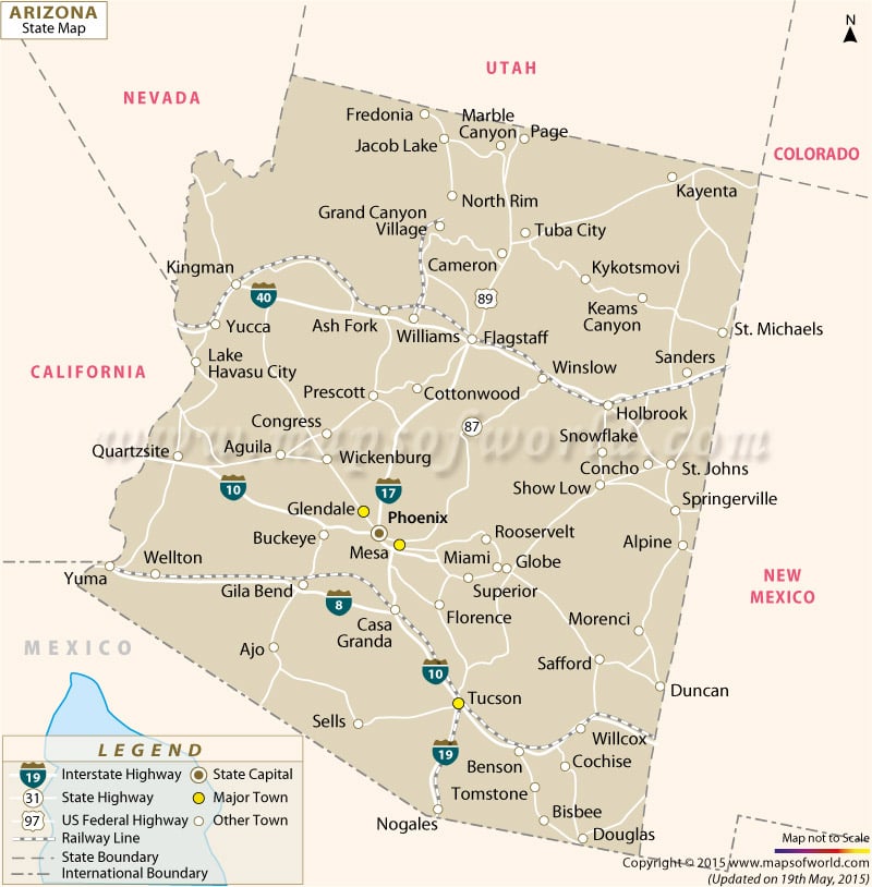
About Arizona State Map
Nicknamed ‘The Grand Canyon State’, Arizona is last one of the contiguous states to be admitted to the Union. There are 15 counties in Arizona. The Coconino County is the second largest county by land area in the lower 48 US states.
Phoenix is the state capital and also the largest city in Arizona. Glendale and Mesa are two important cities in Phoenix Metropolitan Area. Tucson, state’s second largest city, is located further down south. Chandler, Scottsdale, Gilbert, Tempe, Yuma, and Flagstaff are other major cities in Arizona.
Tourist Attractions in Arizona
Arizona has a distinct American Indian culture which visitors may admire at museums and ruin sites across the state. Gleaming sunshine and great weather make Arizona a perfect destination for outdoor activities.
- Grand Canyon National Park
- Monument Valley
- Desert Botanical Garden in Papago Park
- Saguaro National Park
- Arizona-Sonora Desert Museum
- Heard Museum of Native Cultures
- Old Tucson Studios
- Red Rock State Park
Transportation in Ariizona
The Phoenix Sky Harbor International Airport (PHX) and Tucson International Airport (TUS) are major airports in Arizona.
Amtrak runs the Southwest Chief, Sunset Limited, and Texas Eagle passenger trains through the state.
Main interstate highways include I-17, I-19 (south-north), I-8, I-10, and I-40 (west-east), and I-15.
 Wall Maps