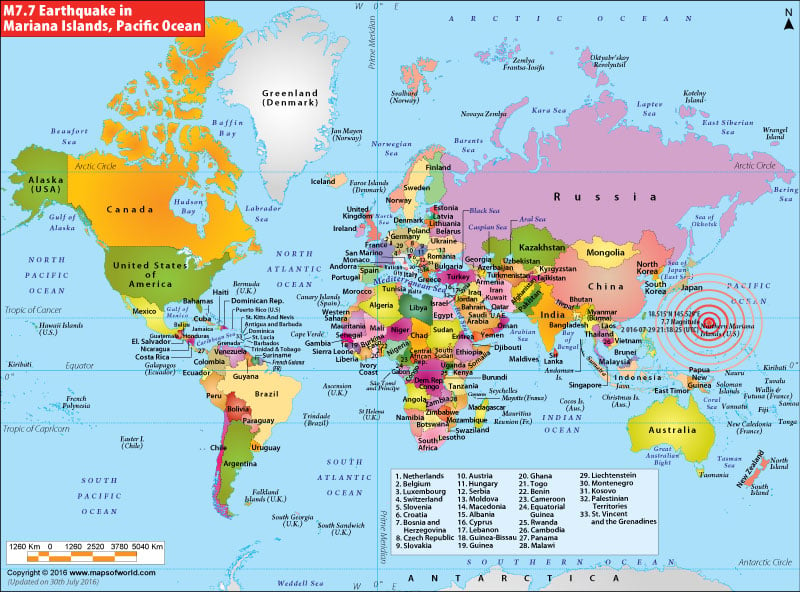
Mariana Islands Earthquake Map
Areas Affected by Earthquake in Mariana Islands

| Description :Map showing location of magnitude 7.7 earthquake occurred near Mariana Islands |
| Disclaimer |
*We specifically create maps that have a magnitude of 6 or more on the Richter Scale.
Earthquake Strikes Mariana Islands
July 30, 2016: Mariana islands in the Pacific ocean got struck by an earthquake of 7.7 magnitude. The quake occurred at a depth of 212 kms in the U.S. territory's uninhabited island of Agrihan. According to National Tsunami Warning Center, no warning for Tsunami has been issued yet. As per spokesperson Paul Whitmore, a hardly noticeable wave of two inches was seen in Saipan.
