5.7K
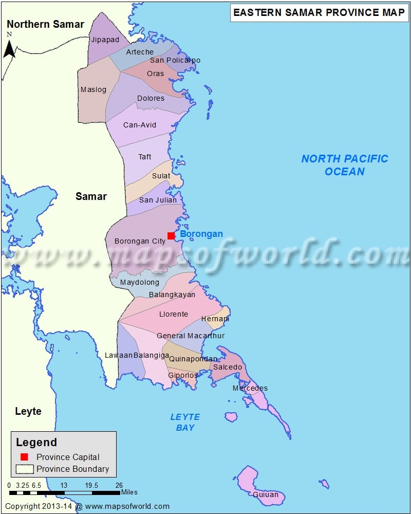
| Name | Area |
|---|---|
| Arteche | 174.200000000 |
| Balangiga | 218.200000000 |
| Balangkayan | 180.800000000 |
| Borongan City | 633.500000000 |
| Can-Avid | 305.000000000 |
| Dolores | 301.600000000 |
| General Macarthur | 121.200000000 |
| Giporlos | 56.120000000 |
| Guiuan | 188.300000000 |
| Hernani | 49.150000000 |
| Jipapad | 186.100000000 |
| Lawaan | 149.800000000 |
| Llorente | 364.300000000 |
| Maslog | 305.300000000 |
| Maydolong | 215.300000000 |
| Mercedes | 24.070000000 |
| Oras | 186.500000000 |
| Quinapondan | 144.100000000 |
| Salcedo | 128.100000000 |
| San Julian | 135.700000000 |
| San Policarpo | 82.890000000 |
| Sulat | 160.000000000 |
| Taft | 245.800000000 |
