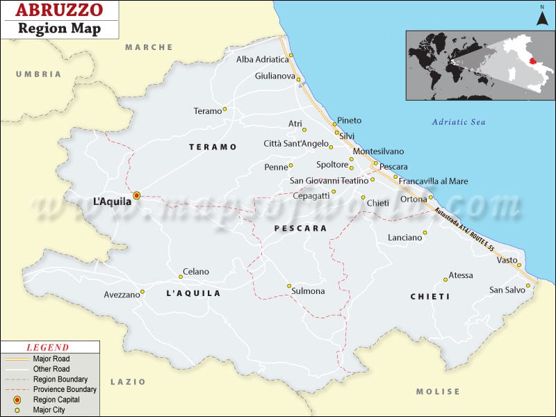
More than 60% of Italy’s Abruzzo is covered with mountains and the rest of the land comprises of hills merging into a thin plain land. Most of this plain land stretches across the Adriatic coastline of 129 kilometers. The Apennine mountain chain is one of the prime attractions of Abruzzo in Italy. The points on the mountain chain like Monte Amaro and Corno Grande with respective heights of 2795 meters and 2914 meters are destinations of many mountaineers.
Another prime attraction for visitors to Abruzzo Italy is its natural or national parks. Few of these parks though stretch beyond the borders of Abruzzo. Names of a few national parks are as below:
- Abruzzo National Park
- Sirente Velino Regional Park
- National Park of the Gran Sasso
- Barrea Lake Wetlands
- National Park of the Majella
The parks of Abruzzo Italy are well protected by the forest department and provide a fine ecological balance to the country of Italy. The rarest flora and fauna that are facing the danger of extinction in the international wildlife scenario are the wolf, brown bear, and chamois. But these species are well protected in the parks of Abruzzo.
Abruzzo Italy houses a good number of medieval towns and castles. Apart from the mountains, wildlife, and coastline of Abruzzo, visitors with a love for archeology flock to Abruzzo for these palaces and old towns.
Visitors do not need to worry about communication. It is a matter of a few hours’ drive from the A14 coastal motorway to the coastal towns of Abruzzo Italy. A14 maintains a link with A24 and A25 that take you conveniently to other major cities in Italy.
Those with a love for solidarity can plan their next tour to Abruzzo Italy. You will love the abandonment when you drive, walk and search for the unknown.
