1.8K
- Neighboring Countries - El Salvador, Nicaragua, Guatemala, Belize, Costa Rica
- Continent And Regions - North America Map, Americas Map
- Other Honduras Maps - Honduras Map, Where is Honduras, Honduras Blank Map, Honduras Road Map, Honduras River Map, Honduras Cities Map, Honduras Political Map, Honduras Physical Map, Honduras Flag
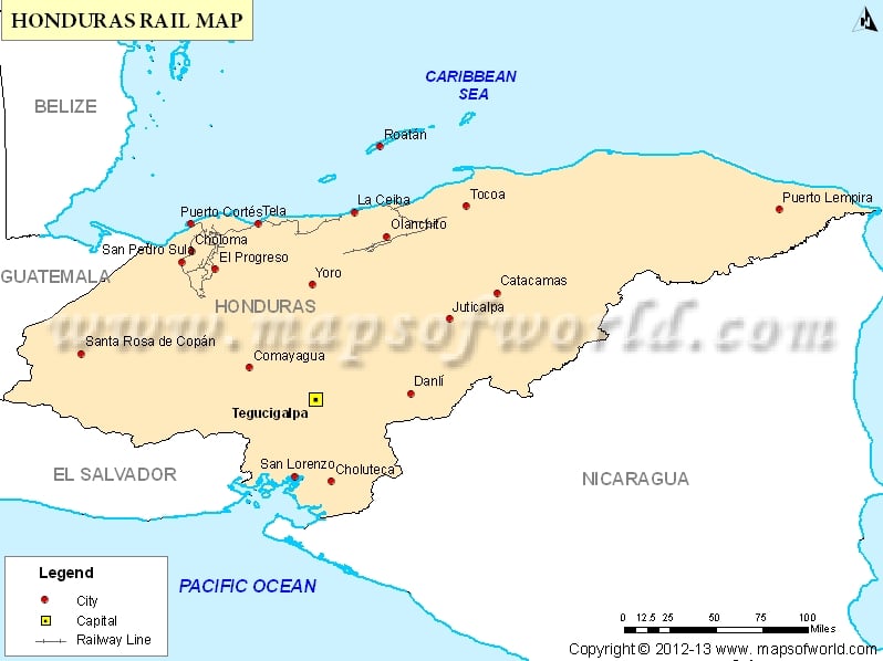
The Honduras rail map shows the rail network of Honduras, and find different railway zones and major cities’ railway line.
