1.5K
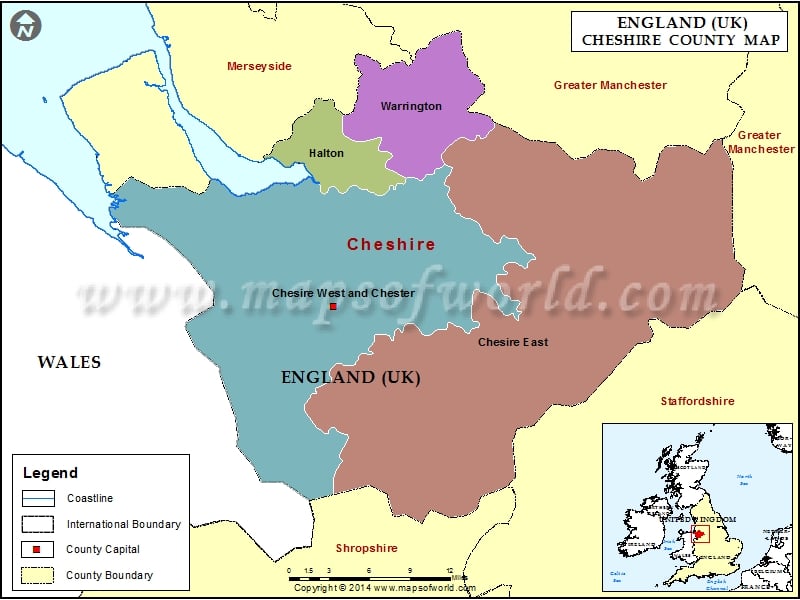
Map of Cheshire – Cheshire is a ceremonial county in North West England, in the United Kingdom, it covers an area of 905 sq mi and its population is around 1.1 million.
Cheshire is a ceremonial county in North West England, in the United Kingdom, it covers an area of 905 sq mi and its population is around 1.1 million.

Map of Cheshire – Cheshire is a ceremonial county in North West England, in the United Kingdom, it covers an area of 905 sq mi and its population is around 1.1 million.